Nonparametric Causal Feature Selection for Spatiotemporal Risk Mapping of Malaria Incidence in Madagascar
Publication
Metrics
AI Quick Summary
This paper investigates a causal feature selection method for predicting malaria incidence in Madagascar using high-resolution spatial data. The method combines the PC algorithm with spatiotemporal prewhitening and kernel-based independence tests, showing improved out-of-sample predictive accuracy in temporal estimation tasks compared to non-causal feature selection.
Paper Preview
Abstract
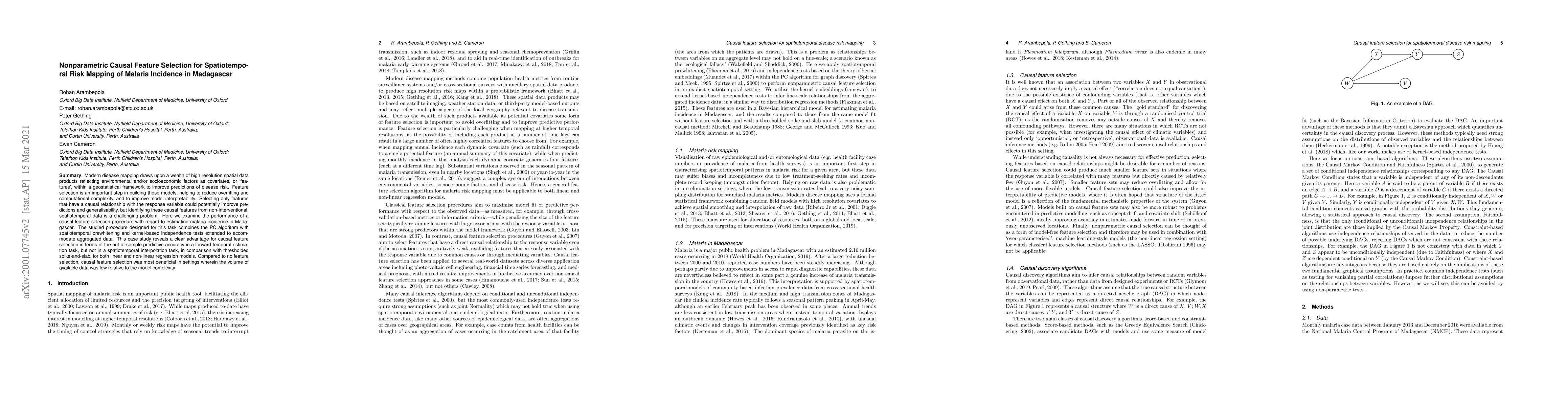
Modern disease mapping draws upon a wealth of high resolution spatial data products reflecting environmental and/or socioeconomic factors as covariates, or `features', within a geostatistical framework to improve predictions of disease risk. Feature selection is an important step in building these models, helping to reduce overfitting and computational complexity, and to improve model interpretability. Selecting only features that have a causal relationship with the response variable could potentially improve predictions and generalisability, but identifying these causal features from non-interventional, spatiotemporal data is a challenging problem. Here we examine the performance of a causal feature selection procedure with regard to estimating malaria incidence in Madagascar. The studied procedure designed for this task combines the PC algorithm with spatiotemporal prewhitening and kernel-based independence tests extended to accommodate aggregated data. This case study reveals a clear advantage for causal feature selection in terms of the out-of-sample predictive accuracy in a forward temporal estimation task, but not in a spatiotemporal interpolation task, in comparison with thresholded spike-and-slab, for both linear and non-linear regression models. Compared to no feature selection, causal feature selection was most beneficial in settings wherein the volume of available data was low relative to the model complexity.
AI Key Findings
Get AI-generated insights about this paper's methodology, results, significance, and more — seven facets brought into focus.
Impact
Paper Details
PDF Preview
Key Terms
Citation Network
Current paper (gray), citations (green), references (blue)
Display is limited for performance on very large graphs.
Discussion 0