Population estimation using 3D city modelling and Carto2S datasets -- A case study
Publication
Metrics
AI Quick Summary
This study employs high-resolution Carto2S satellite imagery to generate precise Digital Elevation Models (DEM) and Digital Terrain Models (DTM), extracting accurate building heights validated by ground control points. The accurate 3D city model and derived housing data are used to estimate population, supplemented by information from OpenStreetMap about local amenities.
Paper Preview
Abstract
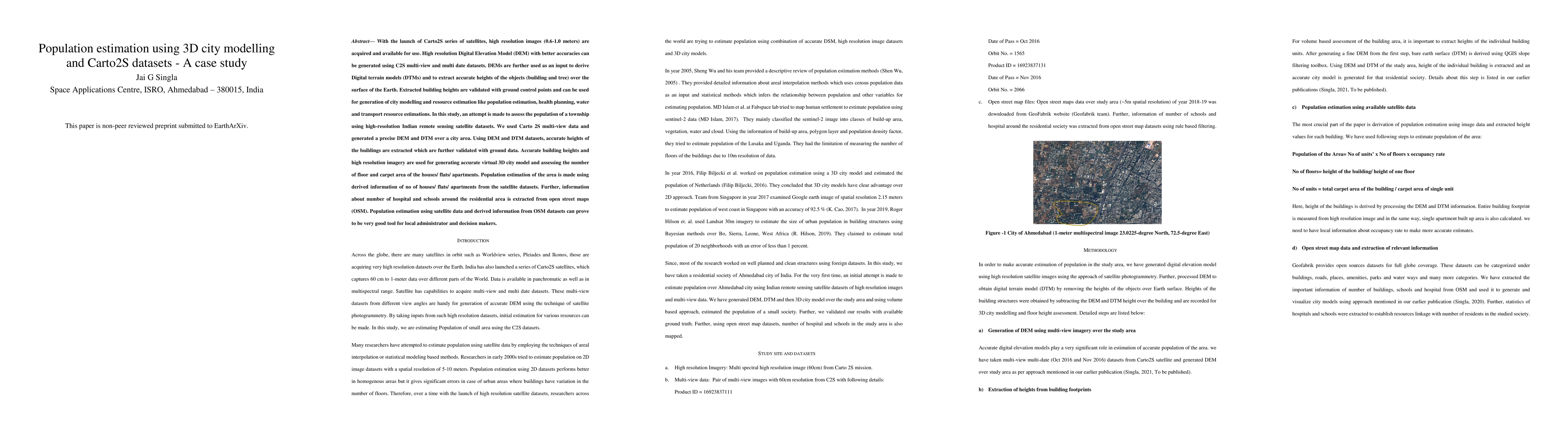
With the launch of Carto2S series of satellites, high resolution images (0.6-1.0 meters) are acquired and available for use. High resolution Digital Elevation Model (DEM) with better accuracies can be generated using C2S multi-view and multi date datasets. DEMs are further used as an input to derive Digital terrain models (DTMs) and to extract accurate heights of the objects (building and tree) over the surface of the Earth. Extracted building heights are validated with ground control points and can be used for generation of city modelling and resource estimation like population estimation, health planning, water and transport resource estimations. In this study, an attempt is made to assess the population of a township using high-resolution Indian remote sensing satellite datasets. We used Carto 2S multi-view data and generated a precise DEM and DTM over a city area. Using DEM and DTM datasets, accurate heights of the buildings are extracted which are further validated with ground data. Accurate building heights and high resolution imagery are used for generating accurate virtual 3D city model and assessing the number of floor and carpet area of the houses/ flats/ apartments. Population estimation of the area is made using derived information of no of houses/ flats/ apartments from the satellite datasets. Further, information about number of hospital and schools around the residential area is extracted from open street maps (OSM). Population estimation using satellite data and derived information from OSM datasets can prove to be very good tool for local administrator and decision makers.
AI Key Findings
Get AI-generated insights about this paper's methodology, results, significance, and more — seven facets brought into focus.
Impact
Authors
PDF Preview
Citation Network
Current paper (gray), citations (green), references (blue)
Display is limited for performance on very large graphs.
Discussion 0