Probabilistic Semantic Mapping for Urban Autonomous Driving Applications
Publication
Metrics
Paper Preview
Abstract
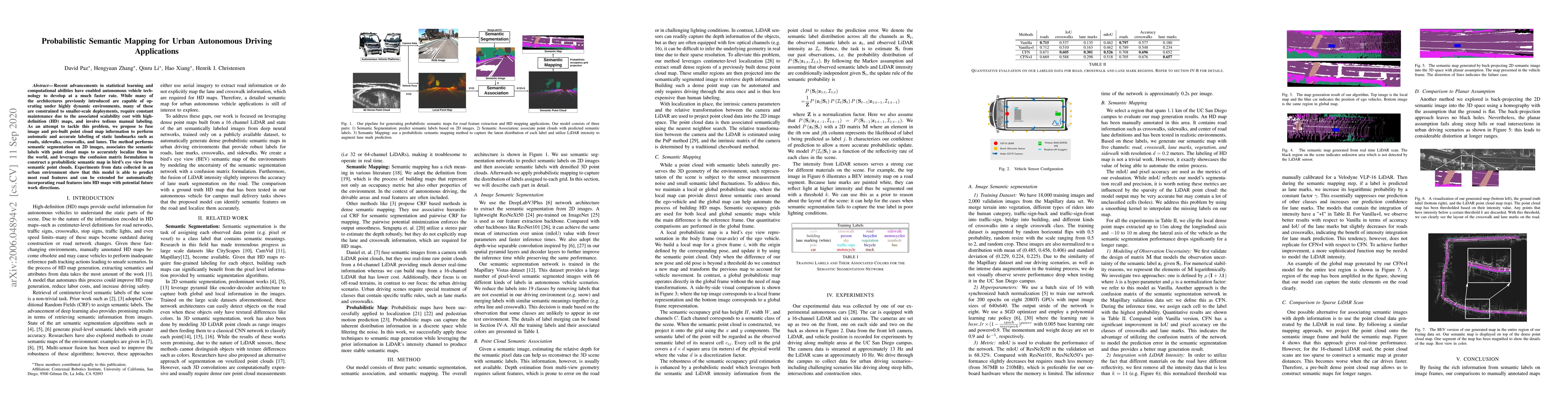
Recent advancements in statistical learning and computational abilities have enabled autonomous vehicle technology to develop at a much faster rate. While many of the architectures previously introduced are capable of operating under highly dynamic environments, many of these are constrained to smaller-scale deployments, require constant maintenance due to the associated scalability cost with high-definition (HD) maps, and involve tedious manual labeling. As an attempt to tackle this problem, we propose to fuse image and pre-built point cloud map information to perform automatic and accurate labeling of static landmarks such as roads, sidewalks, crosswalks, and lanes. The method performs semantic segmentation on 2D images, associates the semantic labels with point cloud maps to accurately localize them in the world, and leverages the confusion matrix formulation to construct a probabilistic semantic map in bird's eye view from semantic point clouds. Experiments from data collected in an urban environment show that this model is able to predict most road features and can be extended for automatically incorporating road features into HD maps with potential future work directions.
AI Key Findings
Get AI-generated insights about this paper's methodology, results, significance, and more — seven facets brought into focus.
Impact
Paper Details
Authors
PDF Preview
Key Terms
Citation Network
Current paper (gray), citations (green), references (blue)
Display is limited for performance on very large graphs.
Discussion 0