ArxivLens

Publication

Published: Aug 09, 2025
Categories: cs.AI

Metrics

Source: ArXiv

Quick Answers

What methodology did the authors use?

The paper proposes a language-centered framework for remote sensing interpretation, inspired by the Global Workspace Theory (GWT), which treats Large Language Models (LLMs) as the cognitive central hub integrating various spaces for unified understanding, reasoning, and decision-making. More in Methodology →

What are the key results?

A paradigm shift from vision-centered to language-centered remote sensing interpretation is advocated. — Core technical challenges in language-centered remote sensing interpretation are identified: unified multimodal representation, knowledge association, and reasoning and decision-making. More in Key Results →

Why is this work significant?

This research is significant as it aims to establish a roadmap toward cognition-driven intelligent geospatial analysis, potentially enhancing the capabilities of remote sensing interpretation systems by leveraging the strengths of LLMs in handling multi-modal reasoning, semantic abstraction, and interactive decision-making. More in Significance →

What are the main limitations?

The proposed framework is theoretical and requires practical implementation and validation. — Dependence on LLMs might introduce limitations related to computational resources and model biases. More in Limitations →

Paper Preview

Abstract

The mainstream paradigm of remote sensing image interpretation has long been dominated by vision-centered models, which rely on visual features for semantic understanding. However, these models face inherent limitations in handling multi-modal reasoning, semantic abstraction, and interactive decision-making. While recent advances have introduced Large Language Models (LLMs) into remote sensing workflows, existing studies primarily focus on downstream applications, lacking a unified theoretical framework that explains the cognitive role of language. This review advocates a paradigm shift from vision-centered to language-centered remote sensing interpretation. Drawing inspiration from the 
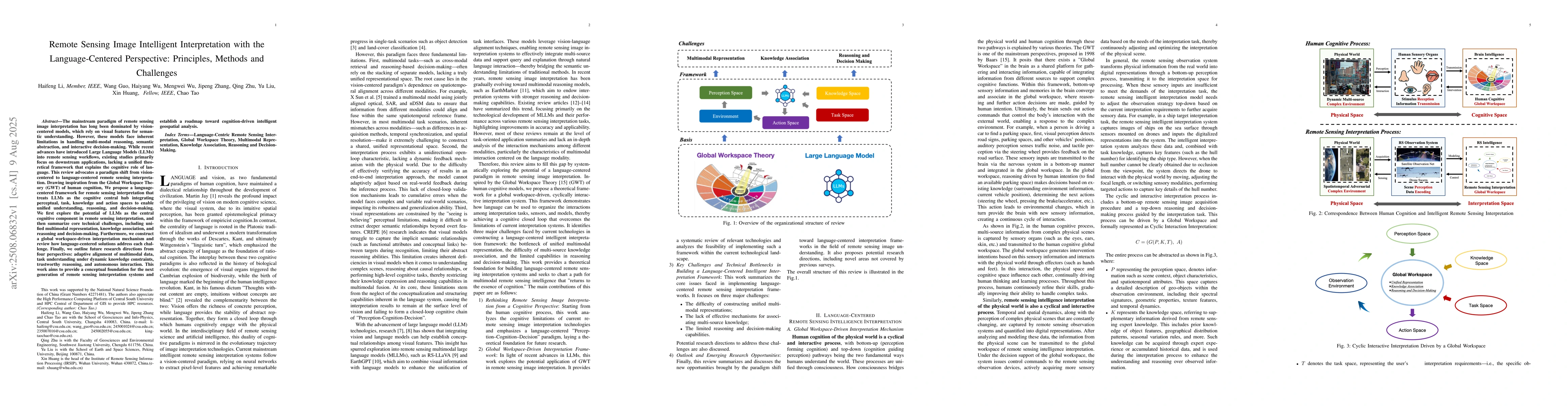
Global Workspace Theory (GWT) of human cognition, We propose a language-centered framework for remote sensing interpretation that treats LLMs as the cognitive central hub integrating perceptual, task, knowledge and action spaces to enable unified understanding, reasoning, and decision-making. We first explore the potential of LLMs as the central cognitive component in remote sensing interpretation, and then summarize core technical challenges, including unified multimodal representation, knowledge association, and reasoning and decision-making. Furthermore, we construct a global workspace-driven interpretation mechanism and review how language-centered solutions address each challenge. Finally, we outline future research directions from four perspectives: adaptive alignment of multimodal data, task understanding under dynamic knowledge constraints, trustworthy reasoning, and autonomous interaction. This work aims to provide a conceptual foundation for the next generation of remote sensing interpretation systems and establish a roadmap toward cognition-driven intelligent geospatial analysis.

Key Findings, in focus

Seven facets of this paper, analysed and brought into focus by AI.

AI-generated · verify against source Generated Aug 14, 2025
In focus · one-line synthesis

This research is significant as it aims to establish a roadmap toward cognition-driven intelligent geospatial analysis, potentially enhancing the capabilities of remote sensing interpretation systems by leveraging the strengths of LLMs in handling multi-modal reasoning, semantic abstraction, and interactive decision-making.

01
MethodologyHow they did it

The paper proposes a language-centered framework for remote sensing interpretation, inspired by the Global Workspace Theory (GWT), which treats Large Language Models (LLMs) as the cognitive central hub integrating various spaces for unified understanding, reasoning, and decision-making.

02
ResultsWhat they found
  • A paradigm shift from vision-centered to language-centered remote sensing interpretation is advocated.
  • Core technical challenges in language-centered remote sensing interpretation are identified: unified multimodal representation, knowledge association, and reasoning and decision-making.
  • A global workspace-driven interpretation mechanism is constructed to address these challenges.
  • Future research directions are outlined from four perspectives: adaptive alignment of multimodal data, task understanding under dynamic knowledge constraints, trustworthy reasoning, and autonomous interaction.
  • The work aims to provide a conceptual foundation for the next generation of remote sensing interpretation systems.
03
SignificanceWhy it matters

This research is significant as it aims to establish a roadmap toward cognition-driven intelligent geospatial analysis, potentially enhancing the capabilities of remote sensing interpretation systems by leveraging the strengths of LLMs in handling multi-modal reasoning, semantic abstraction, and interactive decision-making.

04
Technical ContributionsWhat's new technically

The paper presents a language-centered framework for remote sensing interpretation, integrating LLMs as the central cognitive component to handle perceptual, task, knowledge, and action spaces.

05
NoveltyWhat sets it apart

The research distinguishes itself by proposing a theoretical framework grounded in human cognition (GWT) for remote sensing interpretation, focusing on the role of language in unified understanding, reasoning, and decision-making, which has not been extensively explored in existing literature.

06
LimitationsWhat to be cautious about
  • The proposed framework is theoretical and requires practical implementation and validation.
  • Dependence on LLMs might introduce limitations related to computational resources and model biases.
07
Future WorkWhere it goes next
  • Investigate and develop methods for adaptive alignment of multimodal data in remote sensing.
  • Explore trustworthy reasoning mechanisms in the context of remote sensing interpretation.
  • Design and implement autonomous interaction capabilities for LLMs in remote sensing tasks.

Paper Details

Paper ID: 2508.06832
Categories:
cs.AI

How to Cite This Paper

Reference manager: RIS EndNote


Discussion 0

This website uses cookies to ensure you get the best experience. Learn more