The paper proposes a method called Semantic Guided Two-Branch Network (SGTBN) to generate dense depth maps from single-line LiDAR data and aligned RGB images, addressing the limitations of expensive 64-line LiDAR systems. The method leverages a semantic guided depth upsampling module and a virtual normal loss to enhance the 3D geometry constraint, outperforming state-of-the-art techniques in single-line depth completion.
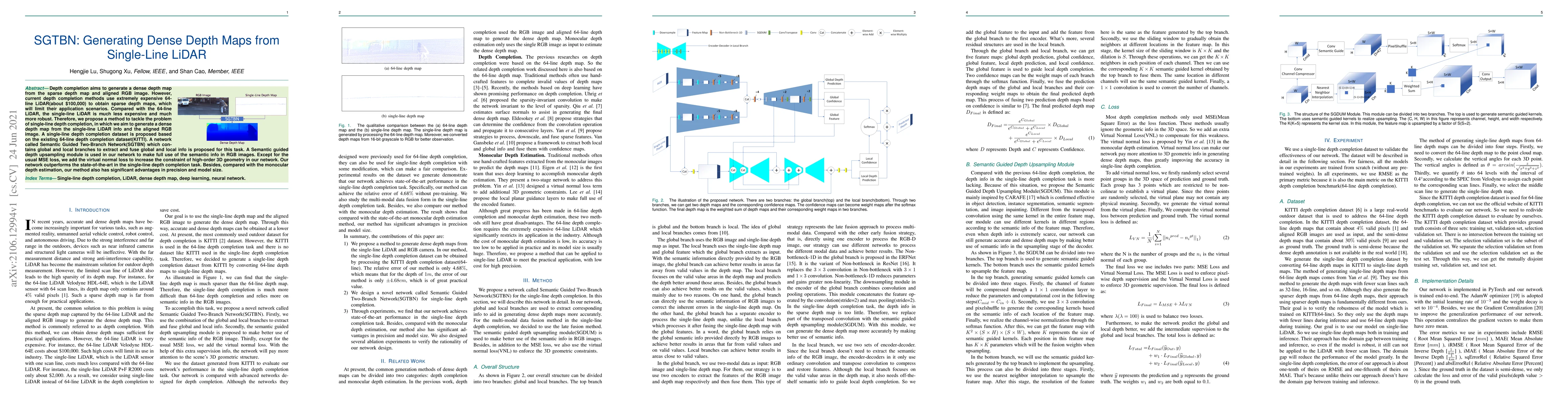
Depth completion aims to generate a dense depth map from the sparse depth map and aligned RGB image. However, current depth completion methods use extremely expensive 64-line LiDAR(about $100,000) to obtain sparse depth maps, which will limit their application scenarios. Compared with the 64-line LiDAR, the single-line LiDAR is much less expensive and much more robust. Therefore, we propose a method to tackle the problem of single-line depth completion, in which we aim to generate a dense depth map from the single-line LiDAR info and the aligned RGB image. A single-line depth completion dataset is proposed based on the existing 64-line depth completion dataset(KITTI). A network called Semantic Guided Two-Branch Network(SGTBN) which contains global and local branches to extract and fuse global and local info is proposed for this task. A Semantic guided depth upsampling module is used in our network to make full use of the semantic info in RGB images. Except for the usual MSE loss, we add the virtual normal loss to increase the constraint of high-order 3D geometry in our network. Our network outperforms the state-of-the-art in the single-line depth completion task. Besides, compared with the monocular depth estimation, our method also has significant advantages in precision and model size.
Generated Sep 03, 2025
The paper proposes SGTBN, a Semantic Guided Two-Branch Network for generating dense depth maps from single-line LiDAR and aligned RGB images. It introduces a Semantic Guided Depth Upsampling Module (SGDUM) to better utilize semantic information in the upsampling stage of the decoder. The network employs a loss function combining Mean Squared Error (MSE) and Virtual Normal Loss (VNL) to enforce both pixel-wise depth supervision and 3D geometric supervision.
This research is significant as it addresses the high cost of 64-line LiDAR by proposing a method using less expensive single-line LiDAR for depth completion. The proposed SGTBN network and SGDUM module contribute to generating accurate and dense depth maps, which is crucial for autonomous driving and robotics applications.
The paper introduces the Semantic Guided Two-Branch Network (SGTBN) and the Semantic Guided Depth Upsampling Module (SGDUM) for single-line depth completion, along with a novel loss function combining MSE and VNL for improved depth map generation.
The proposed method distinguishes itself by effectively utilizing single-line LiDAR data, which is less expensive and more robust than 64-line LiDAR. The SGDUM module's ability to generate accurate depth maps by leveraging semantic information in the upsampling stage is a novel contribution.
Current paper (gray), citations (green), references (blue)
Display is limited for performance on very large graphs.
Julien Moreau, Franck Davoine, Vincent Brebion
Title | Authors | Year | Actions |
---|
Comments (0)