Simulating urban expansion in the parcel level for all Chinese cities
Publication
Metrics
AI Quick Summary
This paper develops a mega-vector-parcels cellular automata model (MVP-CA) to simulate urban expansion at the parcel level across all 654 Chinese cities from 2012 to 2017. It evaluates the model against national spatial development strategies and discusses its academic and practical implications, as well as potential biases.
Paper Preview
Abstract
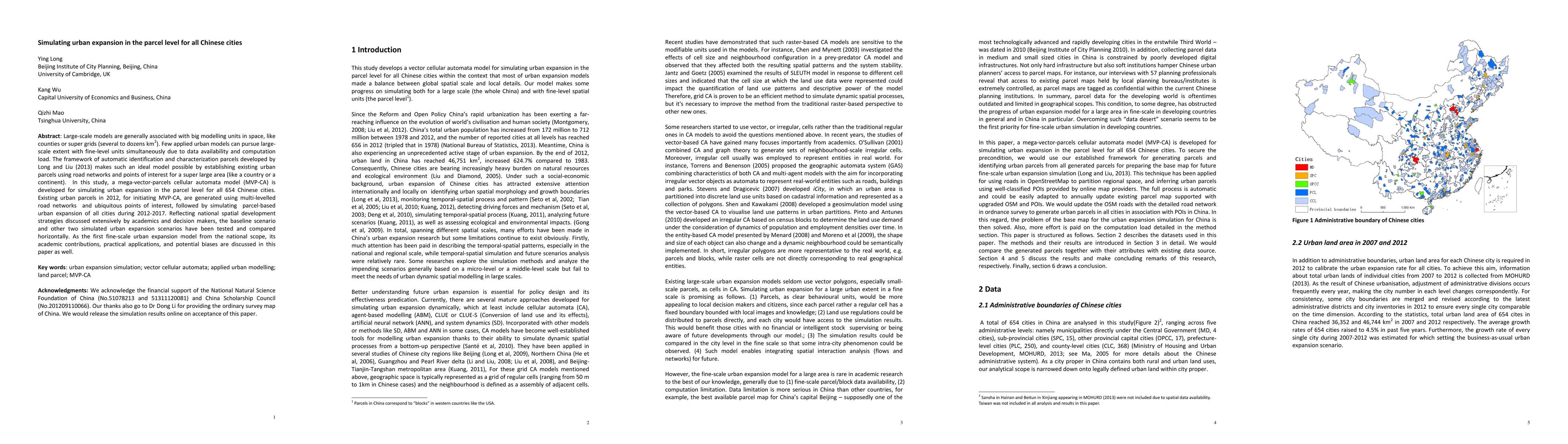
Large-scale models are generally associated with big modelling units in space, like counties or super grids (several to dozens km2). Few applied urban models can pursue large-scale extent with fine-level units simultaneously due to data availability and computation load. The framework of automatic identification and characterization parcels developed by Long and Liu (2013) makes such an ideal model possible by establishing existing urban parcels using road networks and points of interest for a super large area (like a country or a continent). In this study, a mega-vector-parcels cellular automata model (MVP-CA) is developed for simulating urban expansion in the parcel level for all 654 Chinese cities. Existing urban parcels in 2012, for initiating MVP-CA, are generated using multi-levelled road networks and ubiquitous points of interest, followed by simulating parcel-based urban expansion of all cities during 2012-2017. Reflecting national spatial development strategies discussed extensively by academics and decision makers, the baseline scenario and other two simulated urban expansion scenarios have been tested and compared horizontally. As the first fine-scale urban expansion model from the national scope, its academic contributions, practical applications, and potential biases are discussed in this paper as well.
AI Key Findings
Get AI-generated insights about this paper's methodology, results, significance, and more — seven facets brought into focus.
Impact
Paper Details
PDF Preview
Key Terms
Citation Network
Current paper (gray), citations (green), references (blue)
Display is limited for performance on very large graphs.
Discussion 0