Publication
Metrics
AI Quick Summary
This paper introduces SUNet, a deep convolutional neural network for voxel-based semantic segmentation of airborne laser terrain mapping (ALTM) point clouds, emphasizing spatial layout consistency. The proposed method combines multi-resolution classification and regional label prediction, achieving superior performance over existing baselines with high F1 scores for various classes.
Paper Preview
Abstract
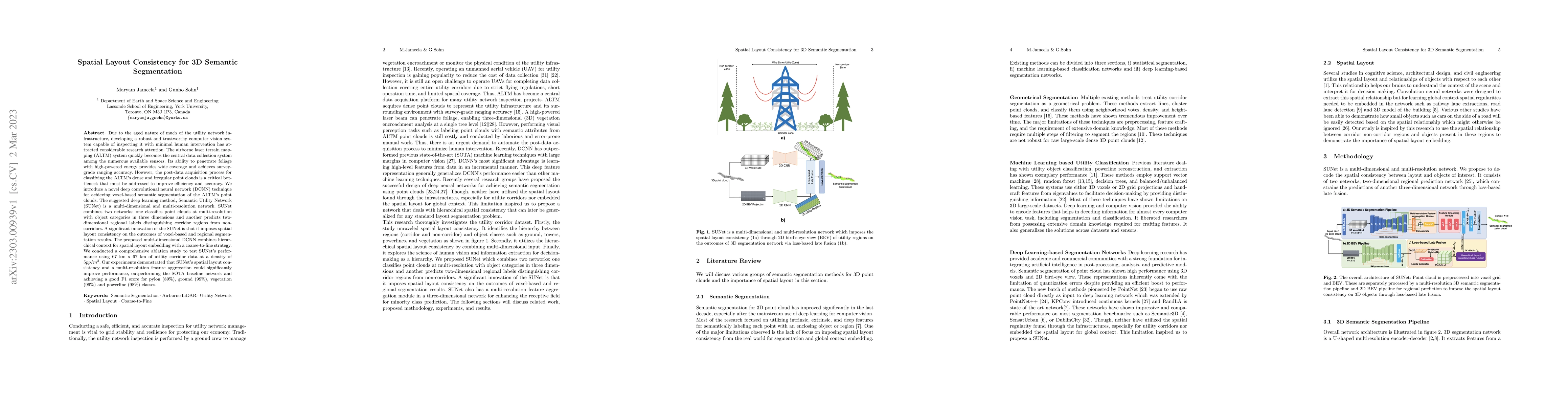
Due to the aged nature of much of the utility network infrastructure, developing a robust and trustworthy computer vision system capable of inspecting it with minimal human intervention has attracted considerable research attention. The airborne laser terrain mapping (ALTM) system quickly becomes the central data collection system among the numerous available sensors. Its ability to penetrate foliage with high-powered energy provides wide coverage and achieves survey-grade ranging accuracy. However, the post-data acquisition process for classifying the ALTM's dense and irregular point clouds is a critical bottleneck that must be addressed to improve efficiency and accuracy. We introduce a novel deep convolutional neural network (DCNN) technique for achieving voxel-based semantic segmentation of the ALTM's point clouds. The suggested deep learning method, Semantic Utility Network (SUNet) is a multi-dimensional and multi-resolution network. SUNet combines two networks: one classifies point clouds at multi-resolution with object categories in three dimensions and another predicts two-dimensional regional labels distinguishing corridor regions from non-corridors. A significant innovation of the SUNet is that it imposes spatial layout consistency on the outcomes of voxel-based and regional segmentation results. The proposed multi-dimensional DCNN combines hierarchical context for spatial layout embedding with a coarse-to-fine strategy. We conducted a comprehensive ablation study to test SUNet's performance using 67 km x 67 km of utility corridor data at a density of 5pp/m2. Our experiments demonstrated that SUNet's spatial layout consistency and a multi-resolution feature aggregation could significantly improve performance, outperforming the SOTA baseline network and achieving a good F1 score for pylon 89%, ground 99%, vegetation 99% and powerline 98% classes.
AI Key Findings
Get AI-generated insights about this paper's methodology, results, significance, and more — seven facets brought into focus.
Impact
Paper Details
Authors
PDF Preview
Key Terms
Citation Network
Current paper (gray), citations (green), references (blue)
Display is limited for performance on very large graphs.
Discussion 0