We explore the geospatial reasoning capabilities of Large Language Models
(LLMs), specifically, whether LLMs can read road network maps and perform
navigation. We frame trajectory recovery as a proxy task, which requires models
to reconstruct masked GPS traces, and introduce GLOBALTRACE, a dataset with
over 4,000 real-world trajectories across diverse regions and transportation
modes. Using road network as context, our prompting framework enables LLMs to
generate valid paths without accessing any external navigation tools.
Experiments show that LLMs outperform off-the-shelf baselines and specialized
trajectory recovery models, with strong zero-shot generalization. Fine-grained
analysis shows that LLMs have strong comprehension of the road network and
coordinate systems, but also pose systematic biases with respect to regions and
transportation modes. Finally, we demonstrate how LLMs can enhance navigation
experiences by reasoning over maps in flexible ways to incorporate user
preferences.
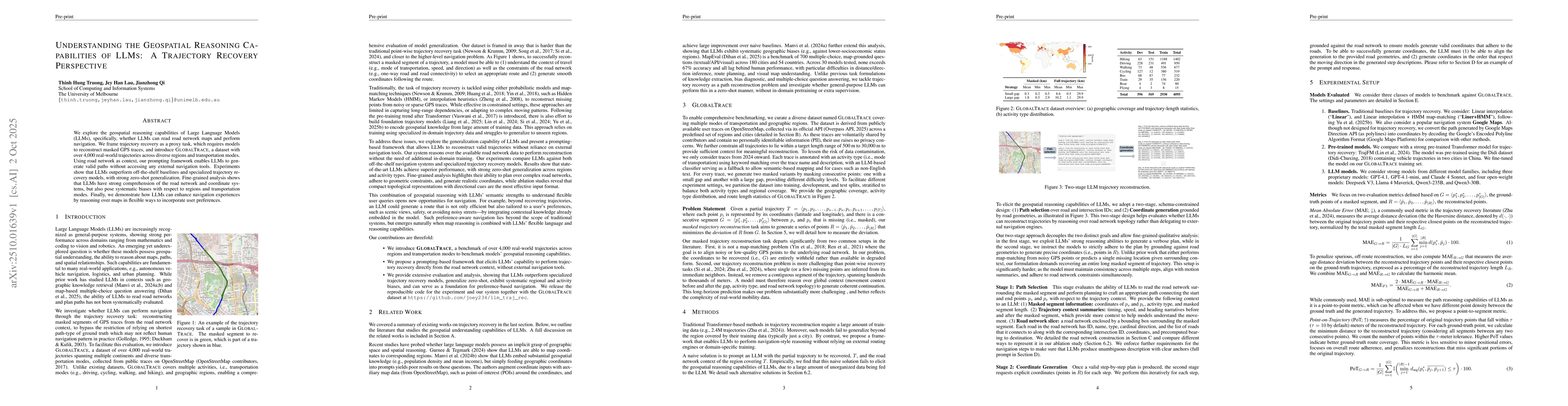
Discussion 0