Authors
Summary
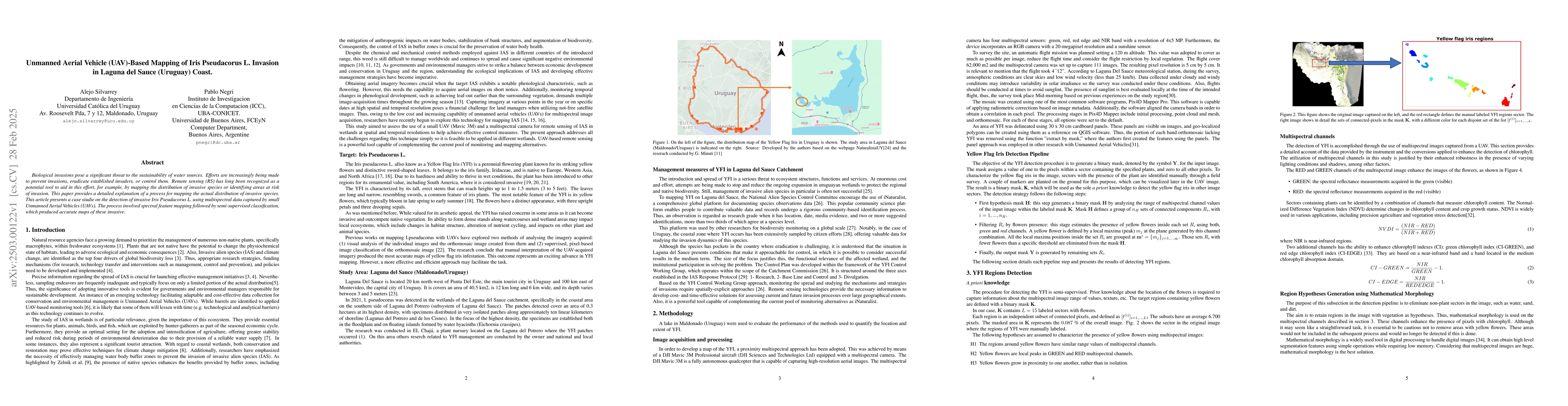
Biological invasions pose a significant threat to the sustainability of water sources. Efforts are increasingly being made to prevent invasions, eradicate established invaders, or control them. Remote sensing (RS) has long been recognized as a potential tool to aid in this effort, for example, by mapping the distribution of invasive species or identifying areas at risk of invasion. This paper provides a detailed explanation of a process for mapping the actual distribution of invasive species. This article presents a case studie on the detection of invasive Iris Pseudacorus L. using multispectral data captured by small Unmanned Aerial Vehicles (UAVs). The process involved spectral feature mapping followed by semi-supervised classification, which produced accurate maps of these invasive.
AI Key Findings
Generated Jun 10, 2025
Methodology
The research employs a semi-supervised method using multispectral data captured by UAVs, involving spectral feature mapping and mathematical morphology for detecting invasive Iris Pseudacorus L. in Laguna del Sauce, Uruguay.
Key Results
- Successful detection and mapping of invasive Iris Pseudacorus L. using UAV-based multispectral imaging.
- Development of a robust detection pipeline that includes region hypotheses generation, flower detection, and validation of hypothesis regions.
Significance
This study demonstrates the potential of UAV-based remote sensing in monitoring and managing invasive alien species, offering a cost-effective and efficient alternative to traditional methods, especially for small patches and hard-to-reach areas.
Technical Contribution
The paper presents a detailed process for mapping invasive species using UAV-based remote sensing, including spectral analysis, mathematical morphology, and semi-supervised classification.
Novelty
This research distinguishes itself by focusing on the use of small UAVs for invasive species detection, offering a flexible, cost-efficient solution that complements existing satellite and manned aircraft remote sensing methods.
Limitations
- The method is applicable primarily when the target invasive species exhibits noticeable phenological characteristics, like flowering.
- Limited to species with distinct spectral signatures that can be differentiated from native vegetation.
Future Work
- Explore the application of this method for other invasive species with varying phenological characteristics.
- Investigate the integration of machine learning algorithms to improve detection accuracy and reduce reliance on manual threshold calibration.
Paper Details
PDF Preview
Citation Network
Current paper (gray), citations (green), references (blue)
Display is limited for performance on very large graphs.
Similar Papers
Found 4 papersNo citations found for this paper.
Comments (0)