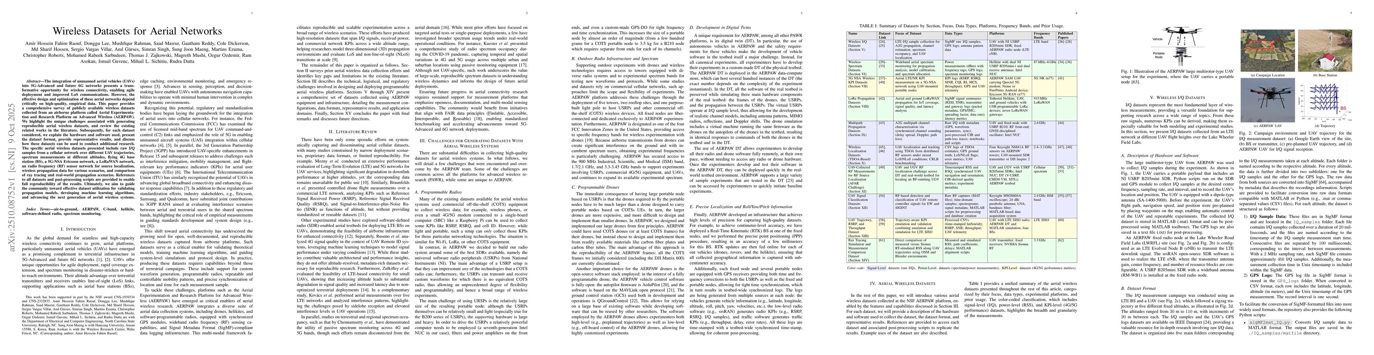
The integration of unmanned aerial vehicles (UAVs) into 5G-Advanced and
future 6G networks presents a transformative opportunity for wireless
connectivity, enabling agile deployment and improved LoS communications.
However, the effective design and optimization of these aerial networks depend
critically on high-quality, empirical data. This paper provides a comprehensive
survey of publicly available wireless datasets collected from an airborne
platform called Aerial Experimentation and Research Platform on Advanced
Wireless (AERPAW). We highlight the unique challenges associated with
generating reproducible aerial wireless datasets, and review the existing
related works in the literature. Subsequently, for each dataset considered, we
explain the hardware and software used, present the dataset format, provide
representative results, and discuss how these datasets can be used to conduct
additional research. The specific aerial wireless datasets presented include
raw I/Q samples from a cellular network over different UAV trajectories,
spectrum measurements at different altitudes, flying 4G base station (BS), a
5G-NSA Ericsson network, a LoRaWAN network, an radio frequency (RF) sensor
network for source localization, wireless propagation data for various
scenarios, and comparison of ray tracing and real-world propagation scenarios.
References to all datasets and post-processing scripts are provided to enable
full reproducibility of the results. Ultimately, we aim to guide the community
toward effective dataset utilization for validating propagation models,
developing machine learning algorithms, and advancing the next generation of
aerial wireless systems.
Discussion 0