ArxivLens

Publication

Published: Apr 21, 2025
Categories: cs.RO

Metrics

Source: ArXiv

AI Quick Summary

This paper proposes an Iterative Task-Driven Framework (ITDNet) to improve LiDAR place recognition in adverse weather conditions, achieving state-of-the-art performance with its novel data restoration and feature fusion modules.

Quick Answers

What methodology did the authors use?

The research proposes ITDNet, an end-to-end framework that integrates LiDAR data restoration (LDR) and place recognition (LPR) through an iterative learning strategy to address LiDAR degradation under adverse weather conditions. More in Methodology →

What are the key results?

ITDNet significantly enhances both restoration quality and recognition performance on Weather-KITTI, Weather-Apollo, and Boreas datasets. — The proposed Feature Similarity Score (FSS) strongly correlates with downstream LPR accuracy. More in Key Results →

Why is this work significant?

This research is significant as it proposes a robust solution for LiDAR-based autonomous navigation in adverse weather conditions, which is crucial for the practical deployment of self-driving vehicles. More in Significance →

What are the main limitations?

The study is limited to synthetic and real-world datasets with specific weather conditions. — The model's performance in unseen, extreme weather conditions remains to be validated. More in Limitations →

Paper Preview

Abstract

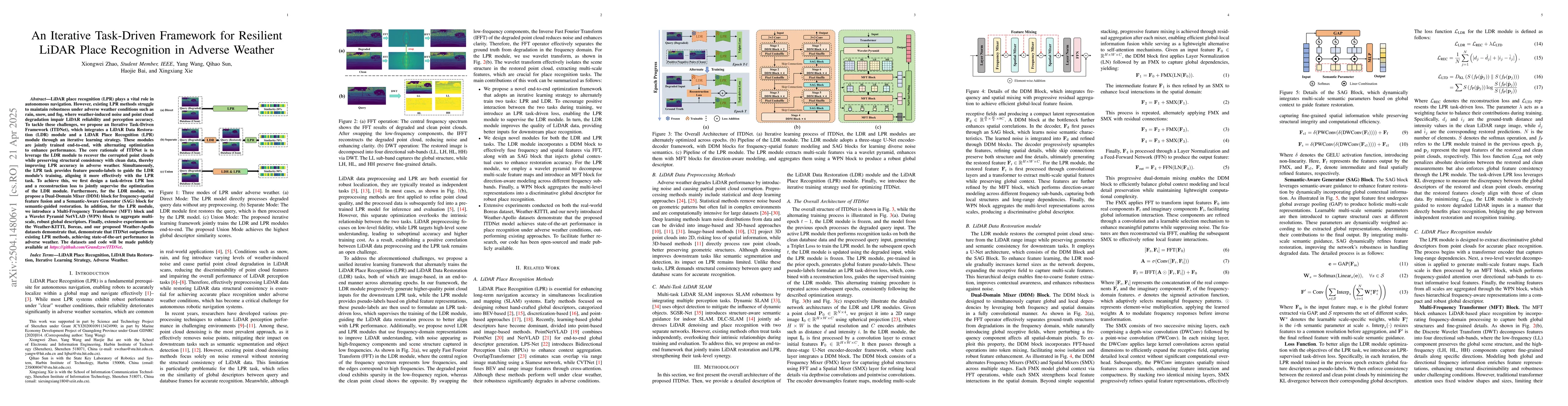
LiDAR place recognition (LPR) plays a vital role in autonomous navigation. However, existing LPR methods struggle to maintain robustness under adverse weather conditions such as rain, snow, and fog, where weather-induced noise and point cloud degradation impair LiDAR reliability and perception accuracy. To tackle these challenges, we propose an Iterative Task-Driven Framework (ITDNet), which integrates a LiDAR Data Restoration (LDR) module and a LiDAR Place Recognition (LPR) module through an iterative learning strategy. These modules are jointly trained end-to-end, with alternating optimization to enhance performance. The core rationale of ITDNet is to leverage the LDR module to recover the corrupted point clouds while preserving structural consistency with clean data, thereby improving LPR accuracy in adverse weather. Simultaneously, the LPR task provides feature pseudo-labels to guide the LDR module's training, aligning it more effectively with the LPR task. To achieve this, we first design a task-driven LPR loss and a reconstruction loss to jointly supervise the optimization of the LDR module. Furthermore, for the LDR module, we propose a Dual-Domain Mixer (DDM) block for frequency-spatial feature fusion and a Semantic-Aware Generator (SAG) block for semantic-guided restoration. In addition, for the LPR module, we introduce a Multi-Frequency Transformer (MFT) block and a Wavelet Pyramid NetVLAD (WPN) block to aggregate multi-scale, robust global descriptors. Finally, extensive experiments on the Weather-KITTI, Boreas, and our proposed Weather-Apollo datasets demonstrate that, demonstrate that ITDNet outperforms existing LPR methods, achieving state-of-the-art performance in adverse weather. The datasets and code will be made publicly available at https://github.com/Grandzxw/ITDNet.

Key Findings, in focus

Seven facets of this paper, analysed and brought into focus by AI.

AI-generated · verify against source Generated Jun 09, 2025
In focus · one-line synthesis

This research is significant as it proposes a robust solution for LiDAR-based autonomous navigation in adverse weather conditions, which is crucial for the practical deployment of self-driving vehicles.

01
MethodologyHow they did it

The research proposes ITDNet, an end-to-end framework that integrates LiDAR data restoration (LDR) and place recognition (LPR) through an iterative learning strategy to address LiDAR degradation under adverse weather conditions.

02
ResultsWhat they found
  • ITDNet significantly enhances both restoration quality and recognition performance on Weather-KITTI, Weather-Apollo, and Boreas datasets.
  • The proposed Feature Similarity Score (FSS) strongly correlates with downstream LPR accuracy.
  • Ablation studies verify the effectiveness of each component in ITDNet.
  • ITDNet outperforms state-of-the-art LPR methods on Weather-KITTI and Weather-Apollo datasets, achieving state-of-the-art performance in adverse weather.
03
SignificanceWhy it matters

This research is significant as it proposes a robust solution for LiDAR-based autonomous navigation in adverse weather conditions, which is crucial for the practical deployment of self-driving vehicles.

04
Technical ContributionsWhat's new technically

ITDNet introduces a novel iterative task-driven framework that integrates LiDAR Data Restoration (LDR) and LiDAR Place Recognition (LPR) modules, enhancing performance through joint end-to-end training and alternating optimization.

05
NoveltyWhat sets it apart

The proposed method differs from existing research by explicitly addressing LiDAR degradation in adverse weather conditions through a task-driven approach, aligning restoration with place recognition for improved performance.

06
LimitationsWhat to be cautious about
  • The study is limited to synthetic and real-world datasets with specific weather conditions.
  • The model's performance in unseen, extreme weather conditions remains to be validated.
07
Future WorkWhere it goes next
  • Exploration of unsupervised solutions for LiDAR perception under adverse weather conditions.
  • Addressing the challenge of limited supervision in real-world scenarios.

Impact

43
References

Paper Details

Paper ID: 2504.14806
Categories:
cs.RO

How to Cite This Paper

Reference manager: RIS EndNote

Citation Network

Current paper (gray), citations (green), references (blue)

Display is limited for performance on very large graphs.

Current Paper
Citations
References
Click to view


Discussion 0

This website uses cookies to ensure you get the best experience. Learn more