The research introduces NaviTrace, a benchmark for evaluating vision-language models (VLMs) across different robot embodiments. It combines semantic-aware scoring with dynamic time warping (DTW) distance and embodiment-conditioned penalties. The dataset includes 1,000 diverse images from urban and rural environments with four embodiment types.
NaviTrace: Evaluating Embodied Navigation of Vision-Language Models
Publication
Metrics
Quick Answers
What methodology did the authors use?
The research introduces NaviTrace, a benchmark for evaluating vision-language models (VLMs) across different robot embodiments. It combines semantic-aware scoring with dynamic time warping (DTW) distance and embodiment-conditioned penalties. The dataset includes 1,000 diverse images from urban and rural environments with four embodiment types. More in Methodology →
What are the key results?
NaviTrace shows stronger alignment with human preferences compared to DTW alone — The semantic-aware scoring function effectively captures nuanced human preferences More in Key Results →
Why is this work significant?
This work bridges high-level VLM reasoning with low-level robotic control, advancing embodied AI towards truly capable robotic navigation systems. It provides a systematic framework for evaluating navigation in real-world scenarios. More in Significance →
What are the main limitations?
Geographic concentration in Switzerland limits generalizability — Benchmark is restricted to single-image scenarios More in Limitations →
Abstract
Vision-language models demonstrate unprecedented performance and generalization across a wide range of tasks and scenarios. Integrating these foundation models into robotic navigation systems opens pathways toward building general-purpose robots. Yet, evaluating these models' navigation capabilities remains constrained by costly real-world trials, overly simplified simulations, and limited benchmarks. We introduce NaviTrace, a high-quality Visual Question Answering benchmark where a model receives an instruction and embodiment type (human, legged robot, wheeled robot, bicycle) and must output a 2D navigation trace in image space. Across 1000 scenarios and more than 3000 expert traces, we systematically evaluate eight state-of-the-art VLMs using a newly introduced semantic-aware trace score. This metric combines Dynamic Time Warping distance, goal endpoint error, and embodiment-conditioned penalties derived from per-pixel semantics and correlates with human preferences. Our evaluation reveals consistent gap to human performance caused by poor spatial grounding and goal localization. NaviTrace establishes a scalable and reproducible benchmark for real-world robotic navigation. The benchmark and leaderboard can be found at https://leggedrobotics.github.io/navitrace_webpage/.
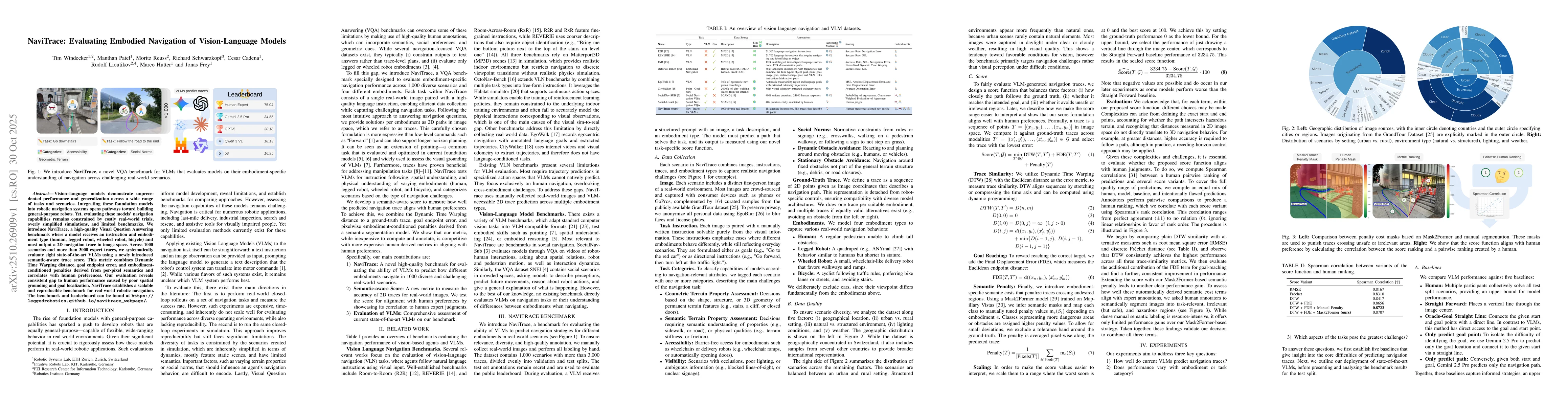
Key Findings, in focus
Seven facets of this paper, analysed and brought into focus by AI.
This work bridges high-level VLM reasoning with low-level robotic control, advancing embodied AI towards truly capable robotic navigation systems.
- NaviTrace shows stronger alignment with human preferences compared to DTW alone
- The semantic-aware scoring function effectively captures nuanced human preferences
- The benchmark enables evaluation of sequential navigation prediction across different embodiments
This work bridges high-level VLM reasoning with low-level robotic control, advancing embodied AI towards truly capable robotic navigation systems. It provides a systematic framework for evaluating navigation in real-world scenarios.
Development of a semantic-aware scoring function that combines DTW distance with endpoint error and embodiment-conditioned penalties using automated semantics
First systematic benchmark for embodied navigation in real-world scenarios with semantic-aware scoring and sequential navigation prediction capabilities
- Geographic concentration in Switzerland limits generalizability
- Benchmark is restricted to single-image scenarios
- Excludes aerial drones and relies on automated segmentation models
- Expand dataset to include diverse global regions
- Incorporate temporal reasoning and multi-step planning
- Integrate aerial drone navigation capabilities
Discussion 0