Publication
Metrics
AI Quick Summary
This paper presents a vision-based localization method for ground vehicles using satellite imagery, employing a neural multi-view model to learn embeddings that match ground-level images with corresponding satellite views, and evaluates its performance on benchmark datasets. The method effectively localizes vehicles despite significant viewpoint and appearance variations.
Paper Preview
Abstract
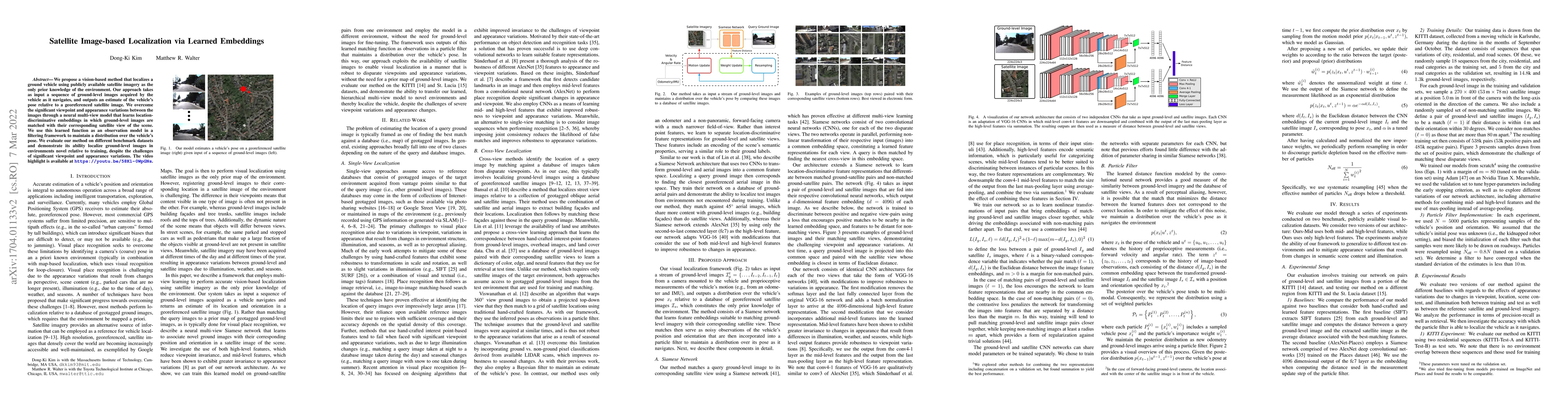
We propose a vision-based method that localizes a ground vehicle using publicly available satellite imagery as the only prior knowledge of the environment. Our approach takes as input a sequence of ground-level images acquired by the vehicle as it navigates, and outputs an estimate of the vehicle's pose relative to a georeferenced satellite image. We overcome the significant viewpoint and appearance variations between the images through a neural multi-view model that learns location-discriminative embeddings in which ground-level images are matched with their corresponding satellite view of the scene. We use this learned function as an observation model in a filtering framework to maintain a distribution over the vehicle's pose. We evaluate our method on different benchmark datasets and demonstrate its ability localize ground-level images in environments novel relative to training, despite the challenges of significant viewpoint and appearance variations.
AI Key Findings
Get AI-generated insights about this paper's methodology, results, significance, and more — seven facets brought into focus.
Impact
Paper Details
Authors
PDF Preview
Key Terms
Citation Network
Current paper (gray), citations (green), references (blue)
Display is limited for performance on very large graphs.
Discussion 0