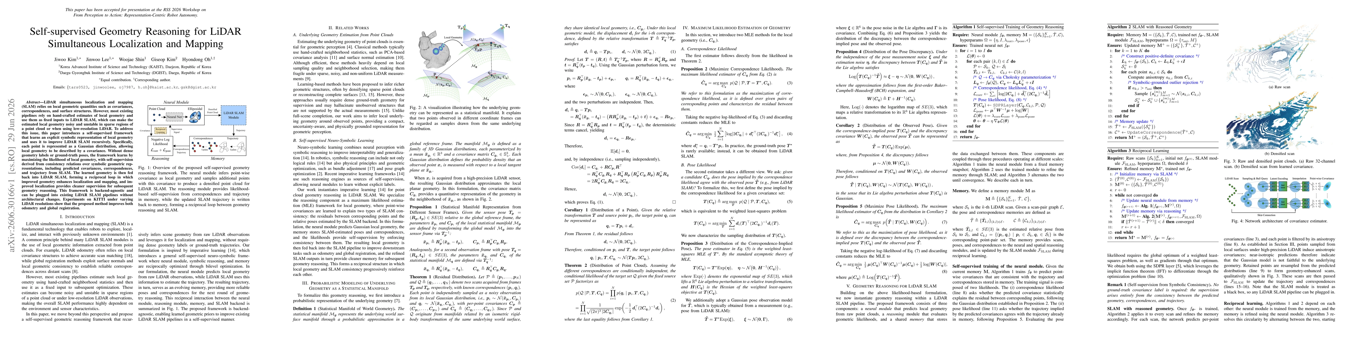
A self-supervised neuro-symbolic framework that learns per-point 3D Gaussian local geometry (means and covariances) representing local surface structure, densifies scans using sampled points from these distributions, and feeds this geometry back into a backend LiDAR SLAM (any SLAM pipeline). The neural module is trained via maximum likelihood supervision derived from consistency between predicted local geometry, correspondences, and SLAM-derived trajectories stored in memory (memory M). A reciprocal loop is formed: geometry reasoning improves SLAM, and improved SLAM provides cleaner supervision for subsequent geometry reasoning. Training uses alternating updates (Algorithm1/2/3) without ground-truth covariances or trajectories, leveraging an implicit function theorem-based SDPR layer for differentiating through the SLAM optimization.
Self-supervised Geometry Reasoning for LiDAR Simultaneous Localization and Mapping
Publication
Metrics
Quick Answers
What methodology did the authors use?
A self-supervised neuro-symbolic framework that learns per-point 3D Gaussian local geometry (means and covariances) representing local surface structure, densifies scans using sampled points from these distributions, and feeds this geometry back into a backend LiDAR SLAM (any SLAM pipeline). The neural module is trained via maximum likelihood supervision derived from consistency between predicted local geometry, correspondences, and SLAM-derived trajectories stored... More in Methodology →
What are the key results?
At 16/32/64-channel KITTI tests, two reciprocal updates reduce translational drift substantially, with about 49.5% and 47.8% reductions at 16/32 channels respectively for 300-frame intervals, and a smaller but present gain at 64 channels (around 6%). — Global registration success rates improve across resolutions, with notable gains at 32 channels (up to +6.7% after the first reasoning pass), and overall reaching... More in Key Results →
Why is this work significant?
Demonstrates that self-supervised, symbolically grounded local geometry can be learned and iteratively integrated into LiDAR SLAM to improve both odometry and global registration without requiring dense geometry labels or ground-truth trajectories, and is backend-agnostic to existing SLAM pipelines. More in Significance →
What are the main limitations?
Densification currently samples from highly anisotropic points; principled covariance-based densification remains needed. — Training is time-consuming (approx 15 minutes per epoch) which may hinder practical deployment without pretraining. More in Limitations →
Paper Preview
Abstract
LiDAR simultaneous localization and mapping (SLAM) relies on local geometric quantities such as covariances, correspondences, and surface structures. However, most existing pipelines rely on hand-crafted estimates of local geometry and use them as fixed inputs to LiDAR SLAM, which can make the estimated local geometry noisy and unstable in sparse regions of a point cloud or when using low-resolution LiDAR. To address this issue, this paper introduces a self-supervised framework that learns an explicit symbolic representation of local geometry and uses it to improve LiDAR SLAM recursively. Specifically, each point is represented as a Gaussian distribution, allowing local geometry to be described by a covariance. Without dense geometry labels or ground-truth poses, the framework learns by maximizing the likelihood of local geometry, with self-supervision derived from consistency relations over symbolic geometric representations, including predicted covariances, correspondences, and trajectory from SLAM. The learned geometry is then fed back into LiDAR SLAM, forming a reciprocal loop in which improved geometry enhances localization and mapping, and improved localization provides cleaner supervision for subsequent geometry reasoning. This framework is backend-agnostic and can be plugged into existing LiDAR SLAM pipelines without architectural changes. Experiments on KITTI under varying LiDAR resolutions show that the proposed method improves both odometry and global registration.
OpenAlex
- Citations in OpenAlex
- 0
- Publication year
- 2026
- Access status
- Open access
Source: OpenAlex · Snapshot
Key Findings, in focus
Seven facets of this paper, analysed and brought into focus by AI.
Demonstrates that self-supervised, symbolically grounded local geometry can be learned and iteratively integrated into LiDAR SLAM to improve both odometry and global registration without requiring dense geometry labels or ground-truth trajectories, and is backend-agnostic to existing SLAM pipelines.
- At 16/32/64-channel KITTI tests, two reciprocal updates reduce translational drift substantially, with about 49.5% and 47.8% reductions at 16/32 channels respectively for 300-frame intervals, and a smaller but present gain at 64 channels (around 6%).
- Global registration success rates improve across resolutions, with notable gains at 32 channels (up to +6.7% after the first reasoning pass), and overall reaching 98% at 64 channels with continued updates.
- The first reasoning pass yields the most significant improvements in sparse inputs; subsequent updates provide continued, though diminishing, benefits as geometry is refined.
Demonstrates that self-supervised, symbolically grounded local geometry can be learned and iteratively integrated into LiDAR SLAM to improve both odometry and global registration without requiring dense geometry labels or ground-truth trajectories, and is backend-agnostic to existing SLAM pipelines.
Proposes a probabilistic geometric reasoning module that represents local geometry as per-point Gaussian distributions, ties these covariances to a statistical manifold across sensor frames, and optimizes via self-supervised MLLE with consistency among predicted geometry, correspondences, and SLAM trajectories, all within a backend-agnostic reciprocal loop.
Introduces a self-supervised neuro-symbolic framework for LiDAR SLAM where local geometry is learned as covariances in a statistical manifold, enabling a reciprocal loop between learned geometry and SLAM backends without dense labels or ground-truth poses, and demonstrates backend-agnostic integration with KITTI experiments under varied LiDAR resolutions.
- Densification currently samples from highly anisotropic points; principled covariance-based densification remains needed.
- Training is time-consuming (approx 15 minutes per epoch) which may hinder practical deployment without pretraining.
- Reciprocal updates do not universally improve all metrics; stopping criteria for updates remains an open issue.
- Develop principled covariance-based densification strategies to replace the current anisotropy-based sampling.
- Explore pretrained geometry reasoning models or more efficient training to reduce per-epoch time.
- Investigate adaptive stopping criteria and more robust memory update rules to ensure consistent improvement across diverse scenes.
Discussion 0