Publication
Metrics
AI Quick Summary
This paper investigates self-supervised deep learning methods for classifying cities using remote sensing imagery, demonstrating that these methods can achieve over 95% accuracy in unseen cities with minimal additional training. It highlights the significant performance gap between self-supervised and supervised methods due to domain discrepancies in remote sensing imagery.
Paper Preview
Abstract
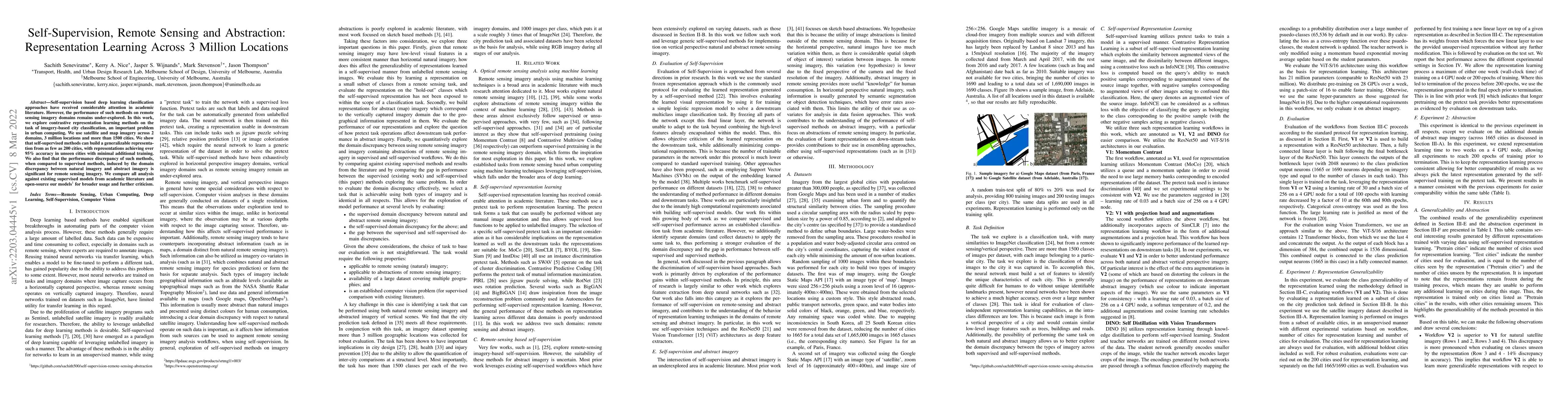
Self-supervision based deep learning classification approaches have received considerable attention in academic literature. However, the performance of such methods on remote sensing imagery domains remains under-explored. In this work, we explore contrastive representation learning methods on the task of imagery-based city classification, an important problem in urban computing. We use satellite and map imagery across 2 domains, 3 million locations and more than 1500 cities. We show that self-supervised methods can build a generalizable representation from as few as 200 cities, with representations achieving over 95\% accuracy in unseen cities with minimal additional training. We also find that the performance discrepancy of such methods, when compared to supervised methods, induced by the domain discrepancy between natural imagery and abstract imagery is significant for remote sensing imagery. We compare all analysis against existing supervised models from academic literature and open-source our models for broader usage and further criticism.
AI Key Findings
Get AI-generated insights about this paper's methodology, results, significance, and more — seven facets brought into focus.
Impact
Paper Details
Authors
PDF Preview
Key Terms
Citation Network
Current paper (gray), citations (green), references (blue)
Display is limited for performance on very large graphs.
Discussion 0