Background
GPS traces in urban environments are noisy and sparsely sampled, making map-matching and trajectory reconstruction difficult. Early map-matching methods were geometric, then topological or probabilistic, but many ran into a fundamental limitation when observations are far apart: there are many plausible routes between two points. Hidden Markov Models (HMMs) and Dynamic Bayesian Networks (DBNs) offered probabilistic formulations but suffered from selection bias and path-explosion issues on road networks with many possible routes. The authors frame the problem as a Conditional Random Field (CRF), unifying the treatment of state projections and connecting paths into a single trajectory representation, and enabling learning of driver behavior and observation characteristics from data.
Problem / Research Question
The central problem is reconstructing plausible vehicle trajectories and road-level positions from sparse GPS data in real time, while maintaining computational efficiency and robustness to noise and map imperfections. The research asks: can we formulate map matching and path inference as a CRF over a tractable set of candidate states and paths, learn the underlying observation and driver models from data (supervised or unsupervised), and deploy a system capable of high throughput across large road networks?
Innovation / Contribution
The Path Inference Filter (PIF) provides several core innovations:
- A unified probabilistic framework that jointly handles projection of GPS points to the road network and the discovery of admissible paths between observations, within a CRF structure.
- A learning procedure that can optimize model parameters with or without ground truth, using maximum likelihood or EM, enabling automatic adaptation to new data distributions.
- An efficient inference engine that leverages dynamic programming (Viterbi for the most likely trajectory, forward-backward for marginals) with tractable complexity, even though the trajectory space is combinatorially large.
- Practical strategies for dealing with road-network realities, including backward-path handling, multiple strategies for state discretization (gridded vs. single most likely point), and lagged smoothing to trade latency for accuracy.
- Demonstrated industrial deployment demonstrating real-time throughput (hundreds to thousands of GPS observations per second on multicore hardware) and robust performance across cities.
Methodology / Approach
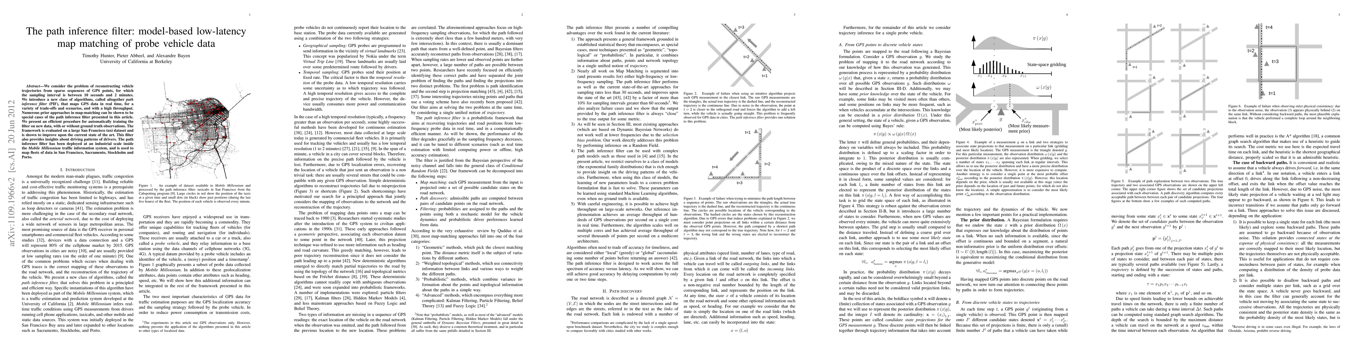
The road network is modeled as a directed graph with links and intersections. A vehicle’s state is represented as a point on a link (link, offset). For each GPS observation g, a set of candidate states x_t on the network is generated using a probabilistic projection ω(g|x) and a prior Ω(x). Between observations, a finite set of candidate paths p_t connects x_t to x_{t+1}. The joint trajectory is a sequence τ = x_1 p_1 x_2 p_2 ... x_T, and each trajectory receives a potential φ(τ|g_{1:T}) that factorizes into observation terms ω(g_t|x_t) and transition terms η(p_t) with compatibility constraints δ and �ar{δ} linking states and paths.
Inference follows the CRF framework: compute the most likely trajectory (Viterbi) or posterior marginals over states and paths (forward-backward). The partial potentials obey recursive identities enabling efficient computation, with a partition function Z used mainly for training. A key design choice is how to manage the path space: exploring all paths is intractable, so the method uses a finite, carefully chosen set of candidate states per observation and a bounded set of admissible paths based on physical constraints (v_max and network topology).
The observation model ω is Gaussian in the distance from GPS to the projected state, with a region-specific σ estimate (10–15 meters inferred). The driver model η uses an exponential-family representation: a path feature vector ϕ(p) is weighted by parameter μ, allowing simple yet expressive modeling of preferences (e.g., shorter paths, presence of stop signs, speed limits, and turning bias). Training can be supervised (knowing the true trajectory) or unsupervised via EM, which iteratively estimates latent paths and states and updates μ and σ.
For inference, the authors describe multiple implementations balancing latency and accuracy: online filtering, fixed-lag smoothing (1- or 2-step), and offline smoothing. The approach also supports a grid-based discretization of offsets or focusing on a single most likely offset per link, with trade-offs between density, connectivity, and computational cost. To mitigate missing or erroneous map data, the system includes flow-based checks to detect unreachable segments and breaks trajectories when necessary.
Experiments / Evaluation
The authors evaluate PIF on real field data from Mobile Millennium, including a high-frequency (1-second) GPS dataset for ground truth (Dataset 1) and a much larger 1-minute sampling dataset (Dataset 2) for unsupervised learning and large-scale evaluation. They measure a variety of metrics: path misses, point misses, log-likelihood of true paths/points, entropies of distributions, and miscoverage of paths. They explore several model variants (Hard Closest Point, Closest Point, Shortest Path, Simple, Complex) and learning strategies (supervised MaxLL, EM, and EM for large-scale data).
Key results show near-perfect path recovery at high frequencies for all models, with trained probabilistic models significantly outperforming greedy heuristics at intermediate frequencies (10–90 seconds). At 2-minute intervals, trained models recover about 75% of true paths, with complex models and lagged smoothing offering substantial gains. Unsupervised learning on Dataset 2 yields performance comparable to supervised learning for many metrics, illustrating the data efficiency and robustness of the EM approach. In terms of throughput, the Scala-based industrial implementation maps hundreds of GPS points per second on a single core, scaling to thousands per second on multicore hardware.
Key Results
Across sampling rates from 1 second to 2 minutes, the probabilistic models trained with either supervision or EM demonstrate superior path and point identification compared to greedy baselines. The 2-lag smoothing and offline modes closely approach the accuracy of full smoothing, albeit with different latency and compute costs. The complex feature model yields notable improvements in path alignment and confidence (entropy reduction), and the EM approach remains competitive with supervised learning while offering robustness to data scarcity. The practical takeaway is that a carefully calibrated CRF-based map-matching system can deliver reliable trajectory reconstruction at industrial scales and diverse urban contexts.
Practical Applications
PIF has direct applicability to real-time traffic estimation, fleet monitoring, and urban mobility analytics. Its deployment in Mobile Millennium demonstrates that a model-based map-matching system can ingest large fleets of GPS traces, produce plausible trajectories in real time, and produce actionable traffic insights at city scale. Beyond traffic estimation, the framework provides a pathway to analyze driver behavior via learned path features, enabling policy analysis, demand modeling, and transportation planning. The methodology is also adaptable to other localized data modalities, as long as an appropriate observation model and path features can be defined.
Limitations & Considerations
While powerful, PIF relies on several assumptions and design choices that warrant careful consideration. The Gaussian observation model may be too simplistic in dense urban canyons or in regions with heterogenous GPS errors, and σ estimates can vary by region and atmosphere. Map quality is crucial; topological errors or missing links can cause trajectory breaks or incorrect inferences, though the authors mitigate this with flow analysis and trajectory restarts. The discretization strategy for candidate states and the number of admissible paths directly impact accuracy and runtime, necessitating tuning for different networks. Training via EM can be sensitive to initialization and data volume, and while unsupervised learning showed promise, convergence and robustness may still hinge on dataset size and diversity. Finally, while high throughput is demonstrated, scaling to vastly larger networks or multi-tenant deployments may require additional engineering refinements and memory management strategies.
Discussion 0