Academic Profile
Statistics
Similar Authors
Papers on arXiv
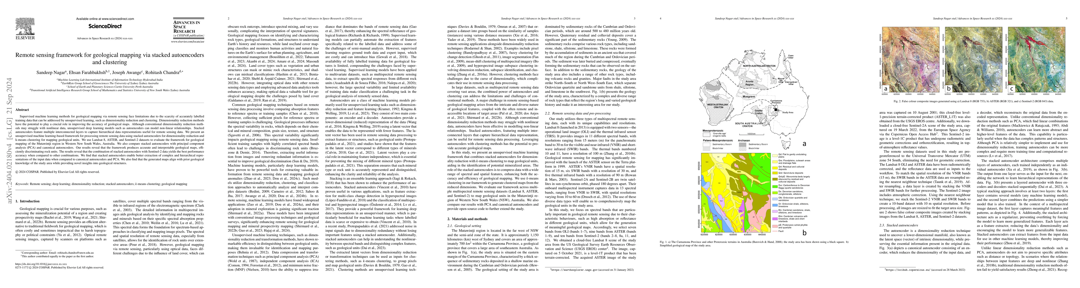
Supervised machine learning methods for geological mapping via remote sensing face limitations due to the scarcity of accurately labelled training data that can be addressed by unsupervised learning, ...
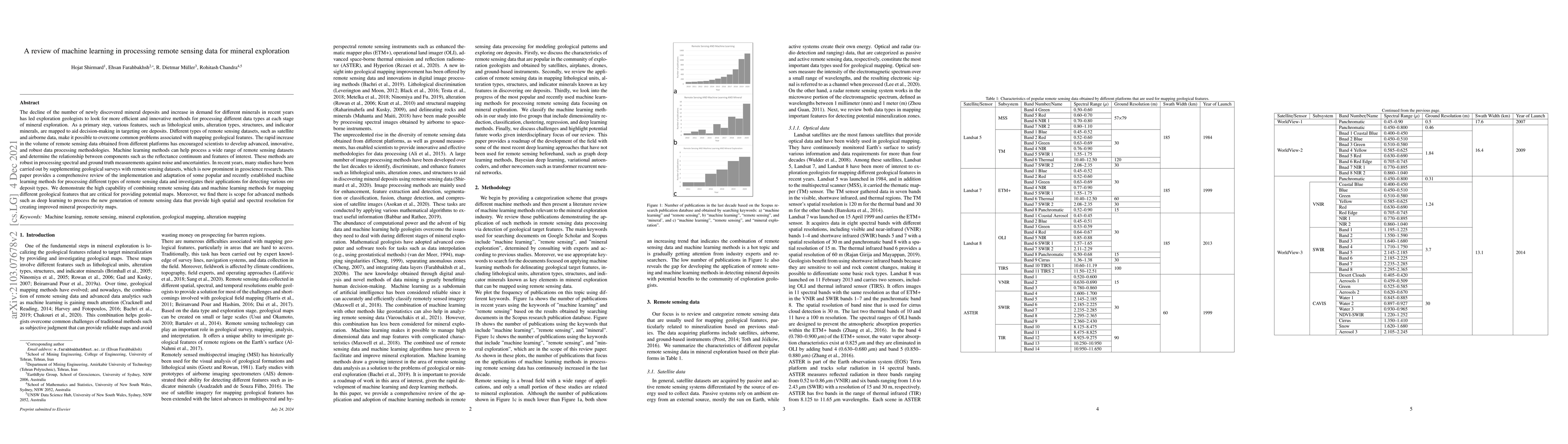
The decline of the number of newly discovered mineral deposits and increase in demand for different minerals in recent years has led exploration geologists to look for more efficient and innovative ...
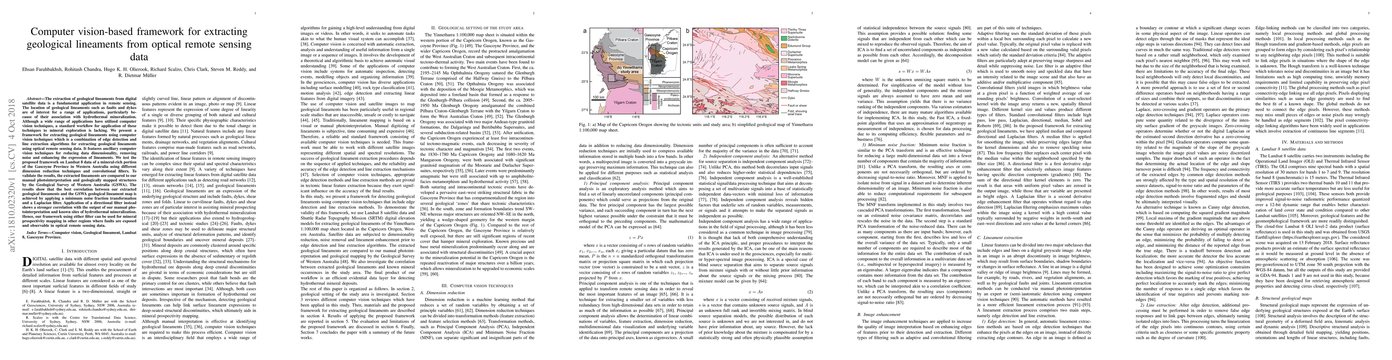
The extraction of geological lineaments from digital satellite data is a fundamental application in remote sensing. The location of geological lineaments such as faults and dykes are of interest for...
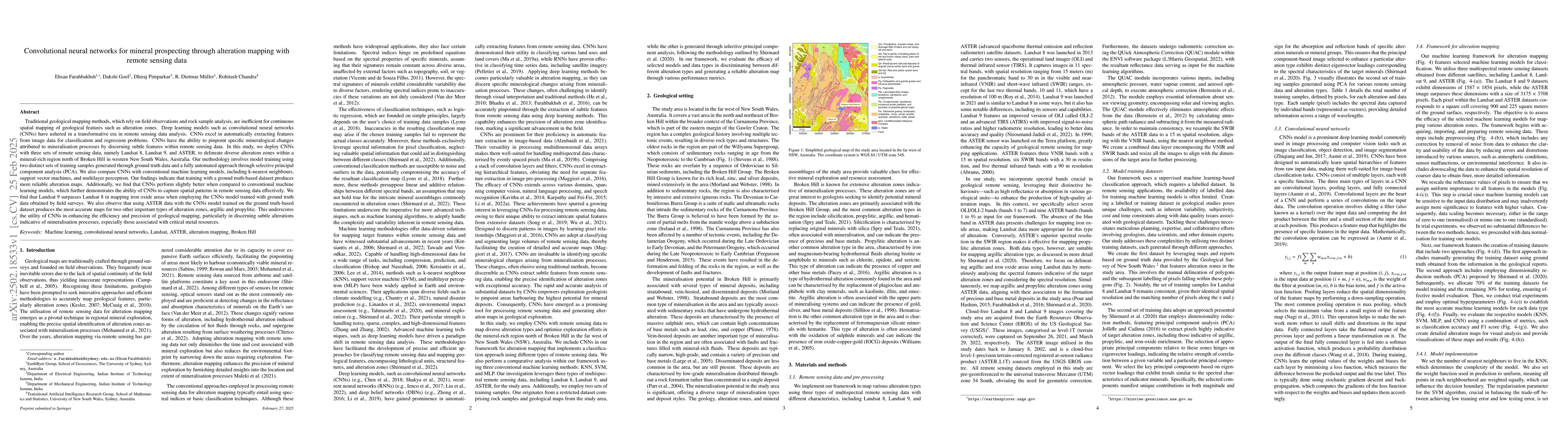
Traditional geological mapping, based on field observations and rock sample analysis, is inefficient for continuous spatial mapping of features like alteration zones. Deep learning models, such as con...
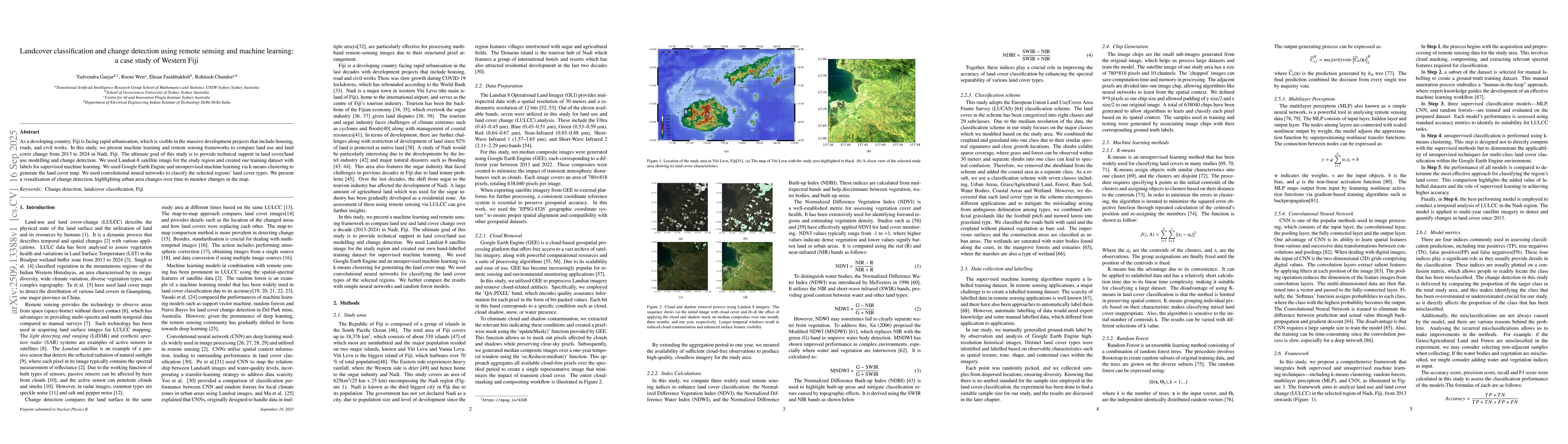
As a developing country, Fiji is facing rapid urbanisation, which is visible in the massive development projects that include housing, roads, and civil works. In this study, we present machine learnin...