01
MethodologyHow they did it
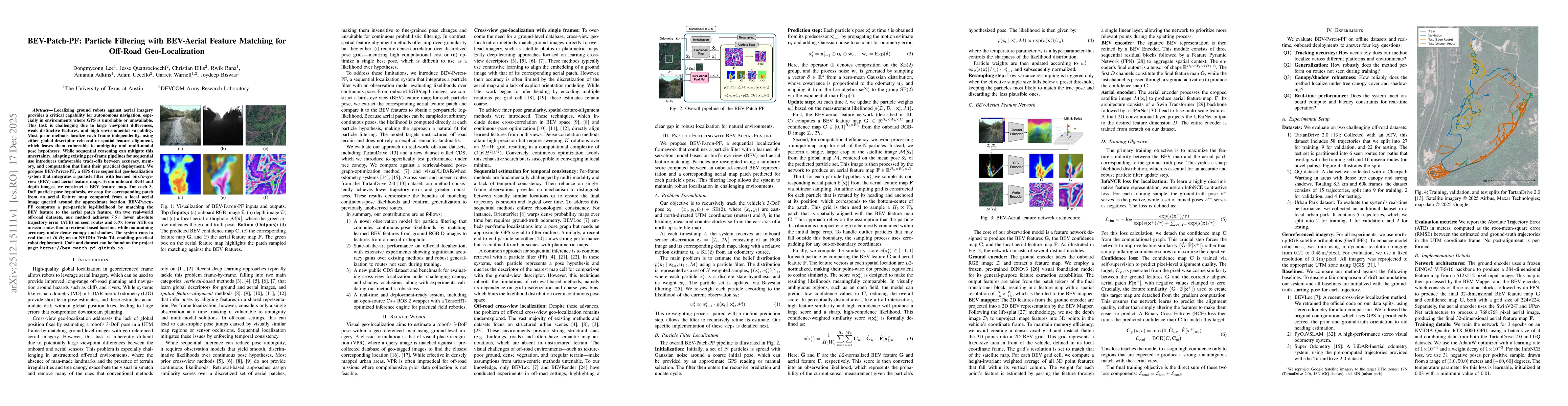
The research introduces BEV-Patch-PF, a sequential cross-view geo-localization system combining a particle filter with a learned observation model. It computes likelihoods from feature similarity between ground-view BEV maps and corresponding aerial patches, validated through real-world off-road experiments and real-time robot deployments.
Discussion 0