Quick Summary:

This paper compares two hydrodynamic models of the Garonne River in France, finding that changes in model parameters and topography projection methods significantly affect flood damage estimates, especially for high-vulnerability agricultural fields.

Summary

Direct economic impacts of flooding are essential for flood mitigation policies, and are based upon multiple tools, among which 2D hydrodynamic models. These models are dependent on multiple parameters and data, such as topography, and can yield considerably different results depending on their values, ultimately changing the resultant damage estimation. To help in understanding some of the underlying drivers of this variation, this conference paper compares damage estimations issued by two different hydrodynamic models 
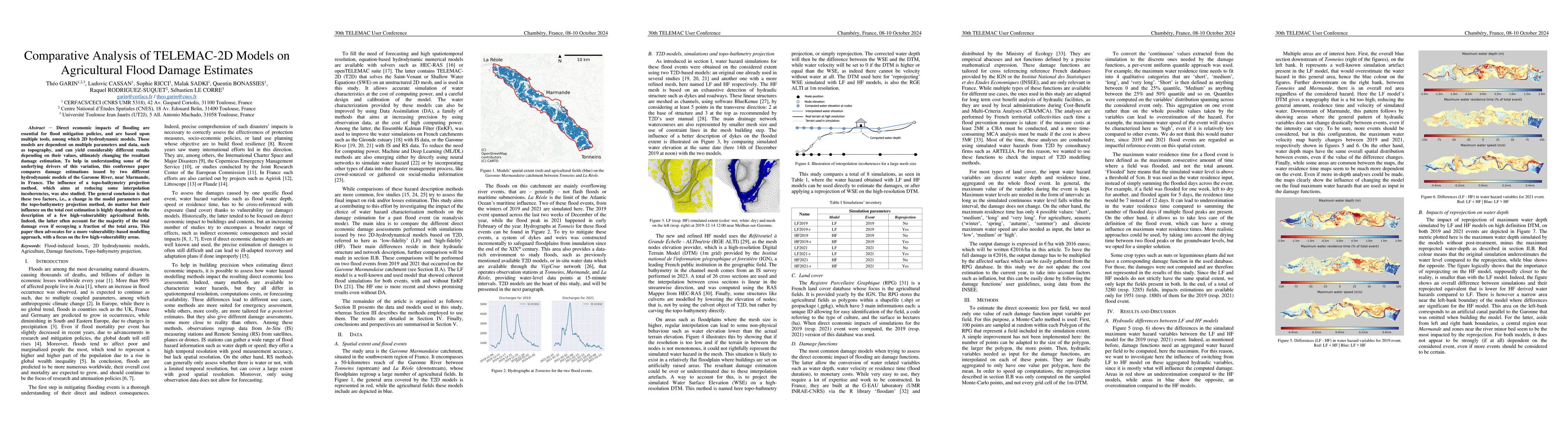
of the Garonne River, near Marmande, in France. The influence of a topo-bathymetry projection method, which aims at reducing some interpolation incoherencies, was also studied. The general conclusion is that these two factors, i.e., a change in the model parameters and the topo-bathymetry projection method, do matter but their influence on the total cost estimation is highly dependent on the description of a few high-vulnerability agricultural fields. Indeed, the latter often account for the majority of the total damage even if occupying a fraction of the total area. This paper then advocates for a more vulnerability-based modelling approach, with a focus on the few high-vulnerability areas.

AI Key Findings

Generated Jun 09, 2025

Methodology

The research utilized two TELEMAC-2D models with varying topographic descriptions and hydraulic infrastructure representations to simulate flood events. A reprojection method was also applied to assess its impact on damage estimations.

Key Results

  • Changing the model (from LF to HF) significantly impacts total damage estimation and spatial distribution, more so than reprojection.
  • High-vulnerability crops (orchards, flower-vegetables) account for a major portion of total damage despite covering a small proportion of the total area.
  • Reprojection slightly increases lower damage estimates and decreases higher damage estimates, marginally reducing the global spread of estimated damages.
  • The study advocates for a vulnerability-based modeling approach focusing on high-vulnerability areas.

Significance

This research is crucial for understanding the drivers of variation in flood damage estimations and improving flood mitigation policies by highlighting the importance of high-vulnerability agricultural fields.

Technical Contribution

The paper presents a comparative analysis of TELEMAC-2D models, emphasizing the impact of model changes and reprojection techniques on flood damage estimations in agricultural fields.

Novelty

This work underscores the significance of high-vulnerability crops in total damage estimations and advocates for a vulnerability-based modeling approach, which has not been extensively explored in previous research.

Limitations

  • The findings are specific to a particular area with a given topography, climate, and crop types, limiting generalization to other regions and flood regimes.
  • The study did not consider satellite-derived water maps, 1D models, or AI models, leaving room for further investigation of their impact on water hazard and resultant damage estimations.

Future Work

  • Investigate the influence of topo-bathymetry projection method on a coherent T2D model with the same spatial resolution as the RGE ALTI DTM.
  • Explore the use of observation and simulation methods like satellite-derived water maps, 1D or AI models to enhance water hazard and damage estimations.

Paper Details

PDF Preview

Download PDF

Key Terms

No key terms available for this paper.

Citation Network

Current paper (gray), citations (green), references (blue)

Current Paper
Citations
References
Click to view

Similar Papers

Found 4 papers

No citations found for this paper.

Comments (0)

This website uses cookies to ensure you get the best experience. Learn more