FF-LINS: A Consistent Frame-to-Frame Solid-State-LiDAR-Inertial State Estimator
Publication
Metrics
AI Quick Summary
This paper proposes FF-LINS, a robust and consistent frame-to-frame LiDAR-inertial navigation system for solid-state LiDARs, achieving superior accuracy and robustness through frame-to-frame data association and factor graph optimization. The system effectively estimates LiDAR-IMU extrinsic and time-delay parameters, demonstrating improved pose accuracy.
Paper Preview
Abstract
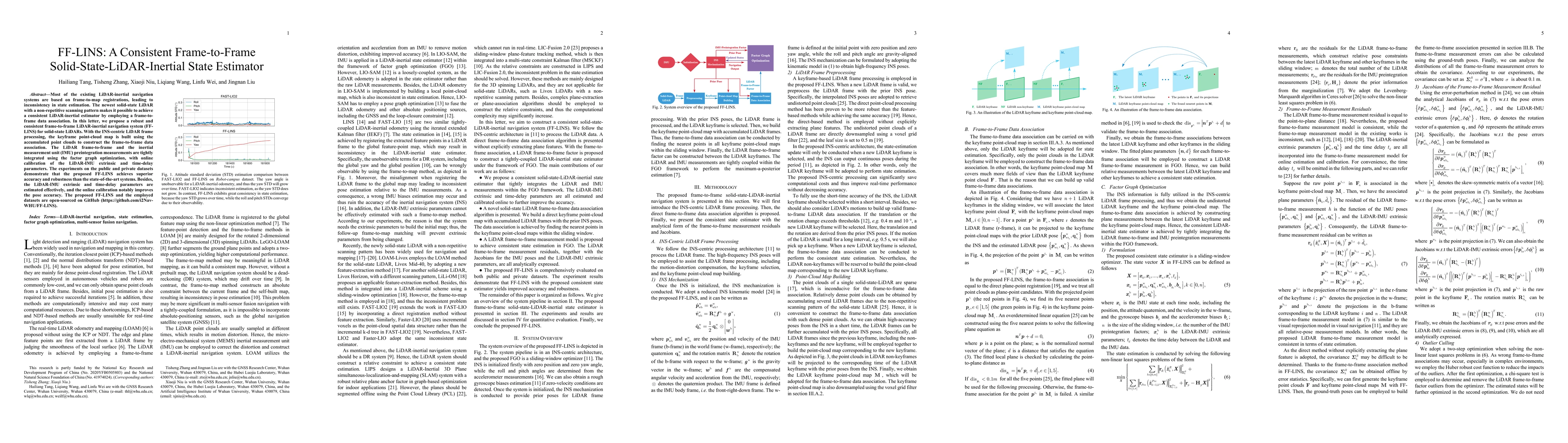
Most of the existing LiDAR-inertial navigation systems are based on frame-to-map registrations, leading to inconsistency in state estimation. The newest solid-state LiDAR with a non-repetitive scanning pattern makes it possible to achieve a consistent LiDAR-inertial estimator by employing a frame-to-frame data association. In this letter, we propose a robust and consistent frame-to-frame LiDAR-inertial navigation system (FF-LINS) for solid-state LiDARs. With the INS-centric LiDAR frame processing, the keyframe point-cloud map is built using the accumulated point clouds to construct the frame-to-frame data association. The LiDAR frame-to-frame and the inertial measurement unit (IMU) preintegration measurements are tightly integrated using the factor graph optimization, with online calibration of the LiDAR-IMU extrinsic and time-delay parameters. The experiments on the public and private datasets demonstrate that the proposed FF-LINS achieves superior accuracy and robustness than the state-of-the-art systems. Besides, the LiDAR-IMU extrinsic and time-delay parameters are estimated effectively, and the online calibration notably improves the pose accuracy. The proposed FF-LINS and the employed datasets are open-sourced on GitHub (https://github.com/i2Nav-WHU/FF-LINS).
AI Key Findings
Get AI-generated insights about this paper's methodology, results, significance, and more — seven facets brought into focus.
Impact
Paper Details
Authors
PDF Preview
Key Terms
Citation Network
Current paper (gray), citations (green), references (blue)
Display is limited for performance on very large graphs.
Discussion 0