AI Quick Summary
This paper proposes algorithms for placing minimal landmarks to aid localization in GPS-denied environments, ensuring effective path planning for unmanned vehicles while satisfying localization, sensing, and collision-avoidance constraints, as demonstrated through simulations on ground robots.
Quick Answers
What methodology did the authors use?
A greedy algorithm was developed to solve the landmark placement problem for vehicle localization in GPS-denied environments with collision avoidance constraints. More in Methodology →
What are the key results?
The algorithm was shown to be optimal for each segment of the vehicle's path. — The algorithm achieved high accuracy in estimating the vehicle's position and heading. More in Key Results →
Why is this work significant?
This research addresses a critical need for autonomous vehicles to localize themselves in GPS-denied environments while avoiding collisions. More in Significance →
What are the main limitations?
The algorithm assumes a fixed camera field of view, which may not be realistic in all scenarios. — The algorithm does not account for sensor noise and other sources of uncertainty. More in Limitations →
Abstract
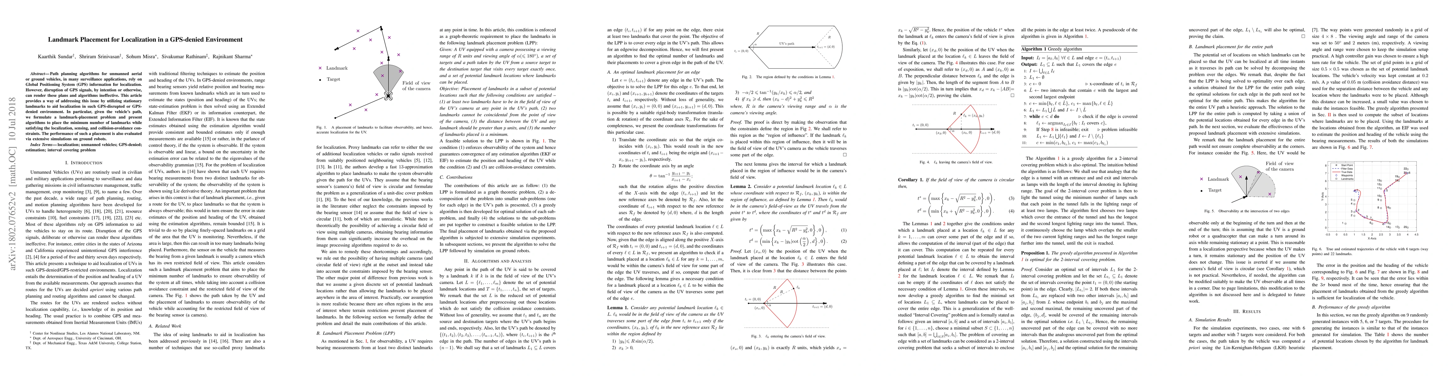
Path planning algorithms for unmanned aerial or ground vehicles, in many surveillance applications, rely on Global Positioning System (GPS) information for localization. However, disruption of GPS signals, by intention or otherwise, can render these plans and algorithms ineffective. This article provides a way of addressing this issue by utilizing stationary landmarks to aid localization in such GPS-disrupted or GPS-denied environment. In particular, given the vehicle's path, we formulate a landmark-placement problem and present algorithms to place the minimum number of landmarks while satisfying the localization, sensing, and collision-avoidance constraints. The performance of such a placement is also evaluated via extensive simulations on ground robots.
AI Key Findings
Generated Sep 04, 2025
Methodology — What approach did the authors take?
A greedy algorithm was developed to solve the landmark placement problem for vehicle localization in GPS-denied environments with collision avoidance constraints.
Key Results — What are the main findings?
- The algorithm was shown to be optimal for each segment of the vehicle's path.
- The algorithm achieved high accuracy in estimating the vehicle's position and heading.
- The algorithm was able to handle multiple landmarks and complex environments.
Significance — Why does this research matter?
This research addresses a critical need for autonomous vehicles to localize themselves in GPS-denied environments while avoiding collisions.
Technical Contribution — What is the technical contribution?
A novel greedy algorithm was developed for landmark placement in GPS-denied environments with collision avoidance constraints.
Novelty — What is new about this work?
This work is the first to address the landmark placement problem in GPS-denied environments with collision avoidance constraints, and presents a new algorithmic approach.
Limitations — What are the limitations of this study?
- The algorithm assumes a fixed camera field of view, which may not be realistic in all scenarios.
- The algorithm does not account for sensor noise and other sources of uncertainty.
Future Work — What did the authors propose for future work?
- Jointly optimizing the path and landmark placement to further improve accuracy and efficiency.
- Developing more advanced algorithms that can handle complex environments and sensor uncertainties.
Paper Details
How to Cite This Paper
@article{anon2018landmark,
title = {Landmark Placement for Localization in a GPS-denied Environment},
year = {2018},
eprint = {1802.07652},
archivePrefix = {arXiv},
primaryClass = {math.OC},
}
(2018). Landmark Placement for Localization in a GPS-denied Environment. arXiv. https://arxiv.org/abs/1802.07652
"Landmark Placement for Localization in a GPS-denied Environment." arXiv, 2018, arxiv.org/abs/1802.07652.
PDF Preview
Key Terms
Citation Network
Current paper (gray), citations (green), references (blue)
Display is limited for performance on very large graphs.
Similar Papers
Found 4 papersSecure Navigation using Landmark-based Localization in a GPS-denied Environment
Ganesh Sapkota, Sanjay Madria
SafeNav: Safe Path Navigation using Landmark Based Localization in a GPS-denied Environment
Ganesh Sapkota, Sanjay Madria
Landmark-based Localization using Stereo Vision and Deep Learning in GPS-Denied Battlefield Environment
Ganesh Sapkota, Sanjay Madria
Landmark Stereo Dataset for Landmark Recognition and Moving Node Localization in a Non-GPS Battlefield Environment
Ganesh Sapkota, Sanjay Madria
| Title | Authors | Year | Actions |
|---|
Comments (0)