PINGS: Gaussian Splatting Meets Distance Fields within a Point-Based Implicit Neural Map

Source: ArXiv

AI Quick Summary

This paper introduces PINGS, a novel SLAM system that combines Gaussian splatting and distance fields within a point-based implicit neural map for high-fidelity environment reconstruction. PINGS achieves superior photorealism and geometric accuracy, leading to improved odometry and mesh reconstruction.

Share: Share on X LinkedIn

Summary

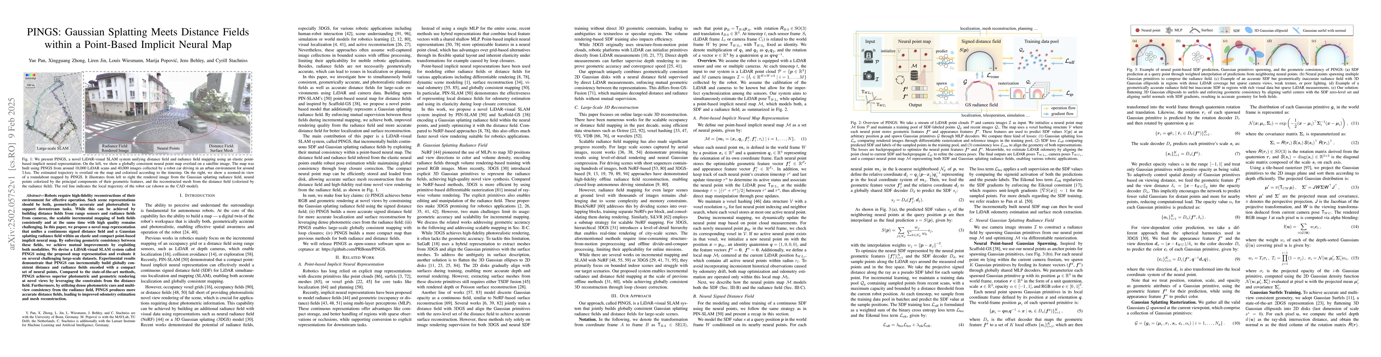
Robots require high-fidelity reconstructions of their environment for effective operation. Such scene representations should be both, geometrically accurate and photorealistic to support downstream tasks. While this can be achieved by building distance fields from range sensors and radiance fields from cameras, the scalable incremental mapping of both fields consistently and at the same time with high quality remains challenging. In this paper, we propose a novel map representation that unifies a continuous signed distance field and a Gaussian splatting radiance field within an elastic and compact point-based implicit neural map. By enforcing geometric consistency between these fields, we achieve mutual improvements by exploiting both modalities. We devise a LiDAR-visual SLAM system called PINGS using the proposed map representation and evaluate it on several challenging large-scale datasets. Experimental results demonstrate that PINGS can incrementally build globally consistent distance and radiance fields encoded with a compact set of neural points. Compared to the state-of-the-art methods, PINGS achieves superior photometric and geometric rendering at novel views by leveraging the constraints from the distance field. Furthermore, by utilizing dense photometric cues and multi-view consistency from the radiance field, PINGS produces more accurate distance fields, leading to improved odometry estimation and mesh reconstruction.

AI Key Findings

Generated Jun 11, 2025

Methodology

The research introduces PINGS, a LiDAR-visual SLAM system that unifies a continuous signed distance field and a Gaussian splatting radiance field within a point-based implicit neural map. It enforces geometric consistency between these fields, improving both representations.

Key Results

  • PINGS achieves superior photometric and geometric rendering at novel views by leveraging constraints from the distance field.
  • PINGS produces more accurate distance fields, leading to improved odometry estimation and mesh reconstruction, thanks to dense photometric cues and multi-view consistency from the radiance field.
  • Experimental results demonstrate that PINGS can incrementally build globally consistent distance and radiance fields encoded with a compact set of neural points.
  • PINGS outperforms state-of-the-art methods in both photorealistic rendering quality and depth rendering accuracy for novel views.
  • PINGS builds a more compact map than previous methods for both radiance and distance fields.

Significance

This research is significant as it presents a novel approach for LiDAR-visual SLAM that unifies Gaussian splatting radiance fields and signed distance fields within a point-based implicit neural map, enabling high-fidelity reconstructions crucial for robotic operation.

Technical Contribution

The paper presents PINGS, a novel LiDAR-visual SLAM system that unifies a continuous signed distance field and a Gaussian splatting radiance field within an elastic and compact point-based implicit neural map, enforcing geometric consistency between these fields for mutual improvements.

Novelty

PINGS differs from existing research by introducing a unified point-based implicit neural map that combines a continuous signed distance field and a Gaussian splatting radiance field, enforcing geometric consistency to jointly improve both representations.

Limitations

  • The current approach has a computational bottleneck, with an overall processing time of around five seconds per frame on an NVIDIA A6000 GPU.
  • PINGS relies solely on online per-scene optimization without using any pre-trained priors.

Future Work

  • Addressing the performance bottleneck through recent advances in efficient optimization schemes for Gaussian splatting training.
  • Incorporating pre-trained priors into the unified map representation to improve mapping quality and convergence speed.
  • Developing explicit 4D modeling capabilities to handle dynamic objects more accurately, especially in highly dynamic environments.

Paper Details

PDF Preview

Download PDF

Citation Network

Current paper (gray), citations (green), references (blue)

Display is limited for performance on very large graphs.

Current Paper
Citations
References
Click to view

Similar Papers

Found 4 papers
Title Authors Year Actions

Comments (0)

This website uses cookies to ensure you get the best experience. Learn more