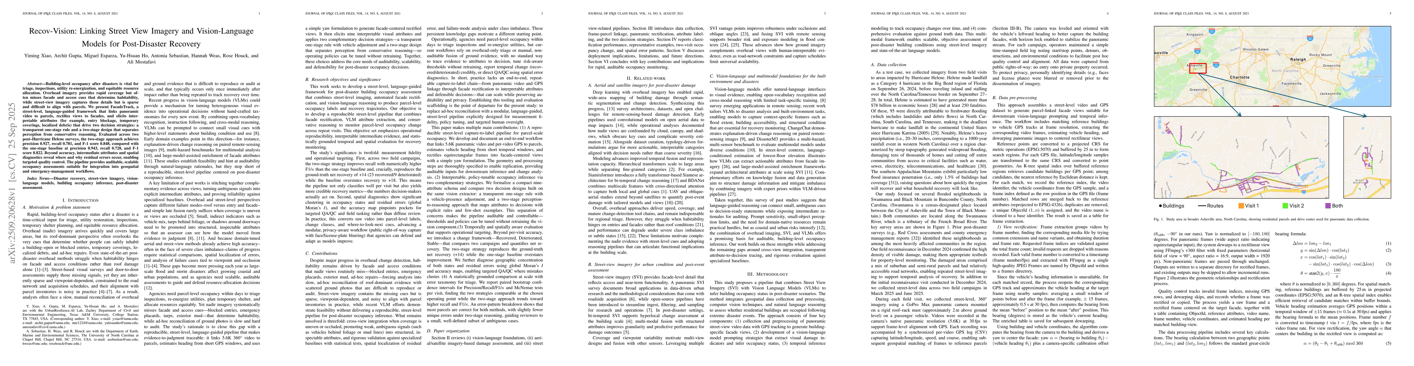
Building-level occupancy after disasters is vital for triage, inspections,
utility re-energization, and equitable resource allocation. Overhead imagery
provides rapid coverage but often misses facade and access cues that determine
habitability, while street-view imagery captures those details but is sparse
and difficult to align with parcels. We present FacadeTrack, a street-level,
language-guided framework that links panoramic video to parcels, rectifies
views to facades, and elicits interpretable attributes (for example, entry
blockage, temporary coverings, localized debris) that drive two decision
strategies: a transparent one-stage rule and a two-stage design that separates
perception from conservative reasoning. Evaluated across two post-Hurricane
Helene surveys, the two-stage approach achieves a precision of 0.927, a recall
of 0.781, and an F-1 score of 0.848, compared with the one-stage baseline at a
precision of 0.943, a recall of 0.728, and an F-1 score of 0.822. Beyond
accuracy, intermediate attributes and spatial diagnostics reveal where and why
residual errors occur, enabling targeted quality control. The pipeline provides
auditable, scalable occupancy assessments suitable for integration into
geospatial and emergency-management workflows.
Discussion 0