Authors
Publication
Metrics
Quick Actions
AI Quick Summary
This paper introduces RoadRunner M&M, an end-to-end learning-based framework for autonomous off-road navigation that predicts traversability and elevation maps at multiple ranges and resolutions. It significantly improves upon previous models and demonstrates real-time performance and generalization to novel environments.
Quick Answers
What is "RoadRunner M&M -- Learning Multi-range Multi-resolution Traversability Maps for Autonomous Off-road Navigation" about?
This paper introduces RoadRunner M&M, an end-to-end learning-based framework for autonomous off-road navigation that predicts traversability and elevation maps at multiple ranges and resolutions. It significantly improves upon previous models and demonstrates real-time performance and generalization to novel environments.
What methodology did the authors use?
RoadRunner M&M is an end-to-end learning-based framework that predicts traversability and elevation maps at multiple ranges (50 m, 100 m) and resolutions (0.2 m, 0.8 m) using multiple images and a LiDAR voxel map. It's trained in a self-supervised manner using a fusion of predictions from an existing traversability estimation stack (X-Racer) and satellite Digital Elevation Maps (DEMs). More in Methodology →
What are the key results?
Significant improvement of up to 50% for elevation mapping and 30% for traversability estimation over RoadRunner. — Predicts in 30% more regions compared to X-Racer while achieving real-time performance. More in Key Results →
Why is this work significant?
This research is significant as it addresses the challenge of long-range (100 m) traversability estimation in autonomous off-road navigation, improving upon existing methods like RoadRunner and X-Racer. More in Significance →
What are the main limitations?
The study was primarily evaluated in specific environments (dry grasslands, rolling hills), and its performance in other varied terrains remains to be explored. — While the method shows promise in reducing latency, the actual real-time performance and computational requirements in diverse, unseen scenarios need further investigation. More in Limitations →
Abstract
Autonomous robot navigation in off-road environments requires a comprehensive understanding of the terrain geometry and traversability. The degraded perceptual conditions and sparse geometric information at longer ranges make the problem challenging especially when driving at high speeds. Furthermore, the sensing-to-mapping latency and the look-ahead map range can limit the 
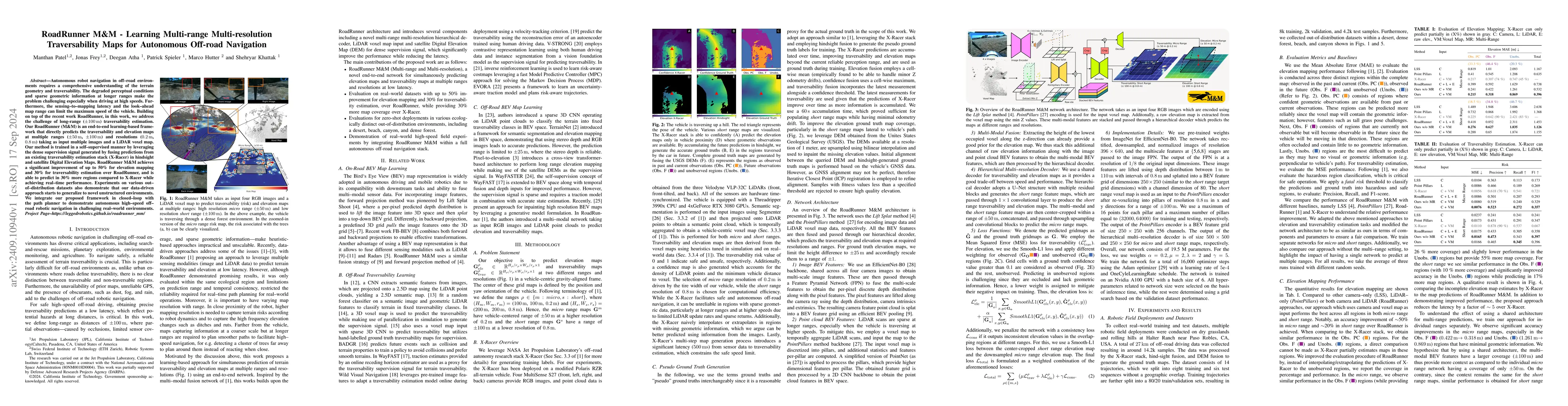
maximum speed of the vehicle. Building on top of the recent work RoadRunner, in this work, we address the challenge of long-range (100 m) traversability estimation. Our RoadRunner (M&M) is an end-to-end learning-based framework that directly predicts the traversability and elevation maps at multiple ranges (50 m, 100 m) and resolutions (0.2 m, 0.8 m) taking as input multiple images and a LiDAR voxel map. Our method is trained in a self-supervised manner by leveraging the dense supervision signal generated by fusing predictions from an existing traversability estimation stack (X-Racer) in hindsight and satellite Digital Elevation Maps. RoadRunner M&M achieves a significant improvement of up to 50% for elevation mapping and 30% for traversability estimation over RoadRunner, and is able to predict in 30% more regions compared to X-Racer while achieving real-time performance. Experiments on various out-of-distribution datasets also demonstrate that our data-driven approach starts to generalize to novel unstructured environments. We integrate our proposed framework in closed-loop with the path planner to demonstrate autonomous high-speed off-road robotic navigation in challenging real-world environments. Project Page: https://leggedrobotics.github.io/roadrunner_mm/
AI Key Findings
Generated Sep 03, 2025
Methodology — What approach did the authors take?
RoadRunner M&M is an end-to-end learning-based framework that predicts traversability and elevation maps at multiple ranges (50 m, 100 m) and resolutions (0.2 m, 0.8 m) using multiple images and a LiDAR voxel map. It's trained in a self-supervised manner using a fusion of predictions from an existing traversability estimation stack (X-Racer) and satellite Digital Elevation Maps (DEMs).
Key Results — What are the main findings?
- Significant improvement of up to 50% for elevation mapping and 30% for traversability estimation over RoadRunner.
- Predicts in 30% more regions compared to X-Racer while achieving real-time performance.
- Demonstrates generalization to novel unstructured environments through experiments on out-of-distribution datasets.
Significance — Why does this research matter?
This research is significant as it addresses the challenge of long-range (100 m) traversability estimation in autonomous off-road navigation, improving upon existing methods like RoadRunner and X-Racer.
Technical Contribution — What is the technical contribution?
The novel hierarchical multi-resolution decoder architecture that fuses multi-modal BEV features from images and LiDAR voxel maps, enabling accurate and efficient multi-range traversability and elevation map predictions.
Novelty — What is new about this work?
RoadRunner M&M distinguishes itself by integrating a self-supervised learning approach with multi-range, multi-resolution predictions, leveraging both camera and LiDAR data, and significantly outperforming existing methods in various evaluation metrics.
Limitations — What are the limitations of this study?
- The study was primarily evaluated in specific environments (dry grasslands, rolling hills), and its performance in other varied terrains remains to be explored.
- While the method shows promise in reducing latency, the actual real-time performance and computational requirements in diverse, unseen scenarios need further investigation.
Future Work — What did the authors propose for future work?
- Explore the approach in more diverse and challenging environments to validate its robustness and generalizability.
- Investigate the computational efficiency and scalability of the method for large-scale, long-range navigation tasks.
Paper Details
How to Cite This Paper
@article{atha2024roadrunner,
title = {RoadRunner M&M -- Learning Multi-range Multi-resolution Traversability
Maps for Autonomous Off-road Navigation},
author = {Atha, Deegan and Frey, Jonas and Patel, Manthan and others},
year = {2024},
eprint = {2409.10940},
archivePrefix = {arXiv},
primaryClass = {cs.RO},
}
Atha, D., Frey, J., Patel, M., Hutter, M., Spieler, P., & Khattak, S. (2024). RoadRunner M&M -- Learning Multi-range Multi-resolution Traversability
Maps for Autonomous Off-road Navigation. arXiv. https://arxiv.org/abs/2409.10940
Atha, Deegan, et al. "RoadRunner M&M -- Learning Multi-range Multi-resolution Traversability
Maps for Autonomous Off-road Navigation." arXiv, 2024, arxiv.org/abs/2409.10940.
PDF Preview
Citation Network
Current paper (gray), citations (green), references (blue)
Display is limited for performance on very large graphs.
Similar Papers
Found 4 papersRoadRunner - Learning Traversability Estimation for Autonomous Off-road Driving
Jonas Frey, Shehryar Khattak, Manthan Patel et al.
Learning-based Traversability Costmap for Autonomous Off-road Navigation
Qiumin Zhu, Zhen Sun, Songpengcheng Xia et al.
METAVerse: Meta-Learning Traversability Cost Map for Off-Road Navigation
Junwon Seo, Taekyung Kim, Seongyong Ahn et al.
Topological mapping for traversability-aware long-range navigation in off-road terrain
Jean-François Tremblay, Julie Alhosh, Louis Petit et al.
| Title | Authors | Year | Actions |
|---|
Comments (0)