The mapKurator System: A Complete Pipeline for Extracting and Linking Text from Historical Maps

Source: ArXiv

AI Quick Summary

The mapKurator system provides an end-to-end pipeline for extracting and linking text from large-dimension historical maps, overcoming limitations of existing tools. It integrates machine learning with data processing to generate GeoJSON data, facilitating analysis and adherence to FAIR principles.

Share: Share on X LinkedIn

Summary

Scanned historical maps in libraries and archives are valuable repositories of geographic data that often do not exist elsewhere. Despite the potential of machine learning tools like the Google Vision APIs for automatically transcribing text from these maps into machine-readable formats, they do not work well with large-sized images (e.g., high-resolution scanned documents), cannot infer the relation between the recognized text and other datasets, and are challenging to integrate with post-processing tools. This paper introduces the mapKurator system, an end-to-end system integrating machine learning models with a comprehensive data processing pipeline. mapKurator empowers automated extraction, post-processing, and linkage of text labels from large numbers of large-dimension historical map scans. The output data, comprising bounding polygons and recognized text, is in the standard GeoJSON format, making it easily modifiable within Geographic Information Systems (GIS). The proposed system allows users to quickly generate valuable data from large numbers of historical maps for in-depth analysis of the map content and, in turn, encourages map findability, accessibility, interoperability, and reusability (FAIR principles). We deployed the mapKurator system and enabled the processing 
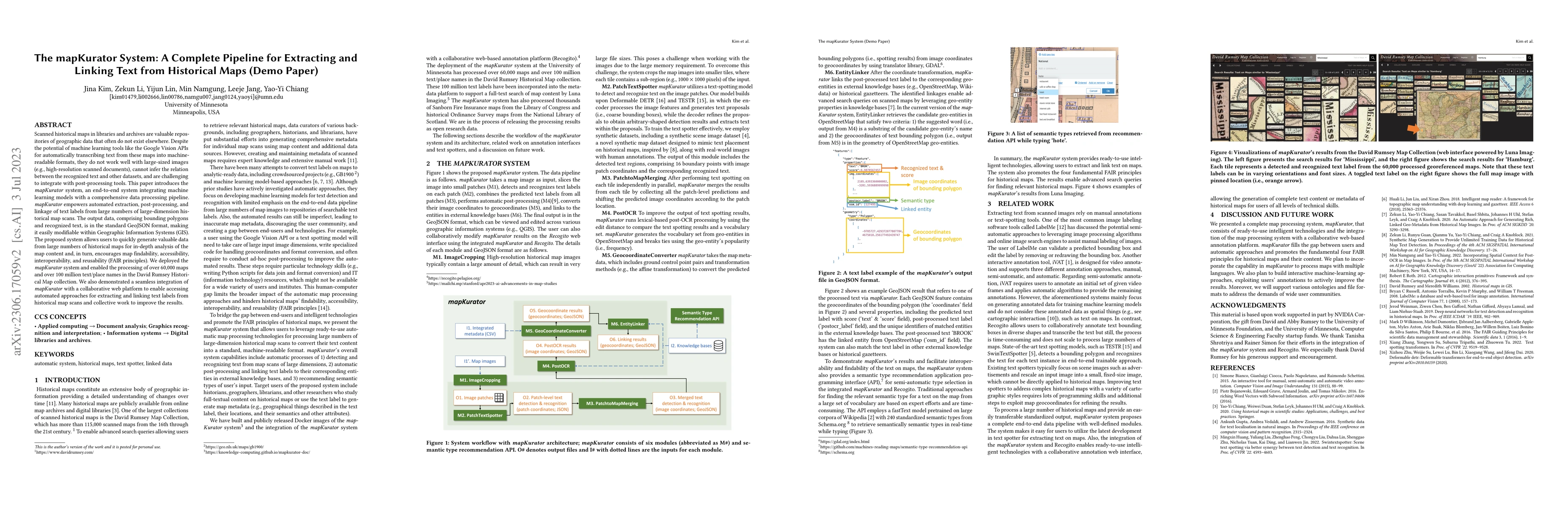
of over 60,000 maps and over 100 million text/place names in the David Rumsey Historical Map collection. We also demonstrated a seamless integration of mapKurator with a collaborative web platform to enable accessing automated approaches for extracting and linking text labels from historical map scans and collective work to improve the results.

AI Key Findings

Generated Sep 02, 2025

Methodology

The paper introduces the mapKurator system, an end-to-end pipeline that integrates machine learning models with comprehensive data processing for automated extraction, post-processing, and linkage of text labels from large-dimension historical map scans.

Key Results

  • mapKurator processes over 60,000 maps and over 100 million text/place names in the David Rumsey Historical Map Collection.
  • The system outputs data in GeoJSON format, easily modifiable within GIS for in-depth map content analysis.
  • Seamless integration with a collaborative web platform enables accessing automated approaches for extracting and linking text labels from historical map scans.
  • The system promotes FAIR (Findability, Accessibility, Interoperability, and Reusability) principles for historical maps.

Significance

This research is significant as it bridges the gap between end-users and intelligent technologies for processing historical maps, making advanced search queries possible and enhancing the findability, accessibility, interoperability, and reusability of historical map content.

Technical Contribution

mapKurator proposes a complete end-to-end data pipeline with well-defined modules for processing large numbers of historical maps, providing an easily transferable standardized output.

Novelty

Unlike existing text-spotting models that focus on scene images, mapKurator is specifically designed to handle the complexities of historical maps with various cartographic styles, making it a novel contribution to the field.

Limitations

  • The current version of mapKurator primarily links text labels to OpenStreetMap entities based on substring and geocoordinate criteria.
  • The system's performance with maps in multiple languages or diverse cartographic styles is yet to be explored.

Future Work

  • Incorporate capability to process maps in multiple languages.
  • Develop interactive machine-learning approaches to actively improve results using user annotations.

Paper Details

PDF Preview

Download PDF

Key Terms

historical (0.277)
text (0.228)
map (0.209)
maps (0.196)
processing (0.195)
recognized (0.192)
valuable (0.169)
automated (0.166)

Citation Network

Current paper (gray), citations (green), references (blue)

Display is limited for performance on very large graphs.

Current Paper
Citations
References
Click to view
Title Authors Year Actions

Comments (0)

This website uses cookies to ensure you get the best experience. Learn more