Summary
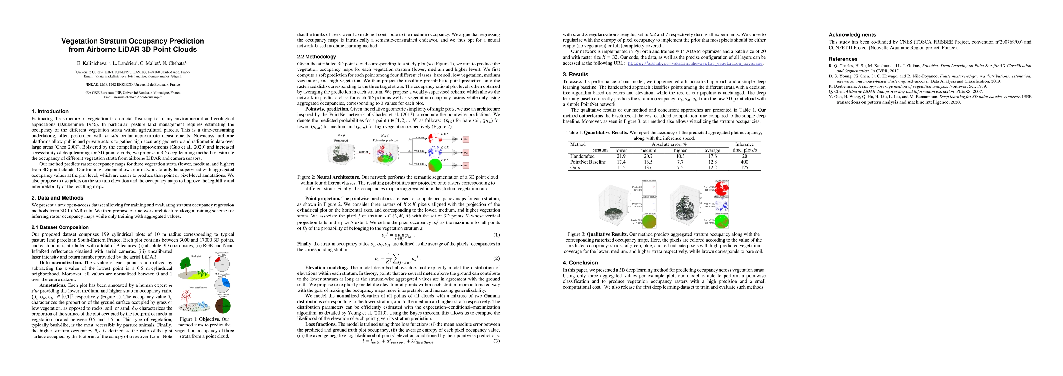
We propose a new deep learning-based method for estimating the occupancy of vegetation strata from 3D point clouds captured from an aerial platform. Our model predicts rasterized occupancy maps for three vegetation strata: lower, medium, and higher strata. Our training scheme allows our network to only being supervized with values aggregated over cylindrical plots, which are easier to produce than pixel-wise or point-wise annotations. Our method outperforms handcrafted and deep learning baselines in terms of precision while simultaneously providing visual and interpretable predictions. We provide an open-source implementation of our method along along a dataset of 199 agricultural plots to train and evaluate occupancy regression algorithms.
AI Key Findings
Get AI-generated insights about this paper's methodology, results, and significance.
Paper Details
PDF Preview
Key Terms
Citation Network
Current paper (gray), citations (green), references (blue)
Display is limited for performance on very large graphs.
Similar Papers
Found 4 papersPredicting Vegetation Stratum Occupancy from Airborne LiDAR Data with Deep Learning
Loic Landrieu, Clément Mallet, Ekaterina Kalinicheva et al.
Point2Building: Reconstructing Buildings from Airborne LiDAR Point Clouds
Anton Obukhov, Konrad Schindler, Jan Dirk Wegner et al.
City3D: Large-Scale Building Reconstruction from Airborne LiDAR Point Clouds
Jin Huang, Liangliang Nan, Ravi Peters et al.
Occupancy-MAE: Self-supervised Pre-training Large-scale LiDAR Point Clouds with Masked Occupancy Autoencoders
Liang Xiao, Xinli Xu, Bin Dai et al.
| Title | Authors | Year | Actions |
|---|

Comments (0)