01
MethodologyHow they did it
A novel approach combining total station and RTK-GPS for precise positioning in harsh environments.
This paper proposes a novel extrinsic calibration method for robotic total stations to achieve highly accurate trajectory reconstruction in outdoor environments. The method eliminates the need for manual ground control points and synchronous measurements, significantly reducing deployment time and increasing calibration precision by 25% compared to traditional methods.
A novel approach combining total station and RTK-GPS for precise positioning in harsh environments. More in Methodology →
Main finding 1: The proposed method achieves a precision of 2 cm in outdoor conditions. — Main finding 2: The system's accuracy is unaffected by weather conditions, making it suitable for real-time applications. More in Key Results →
This research contributes to the development of accurate and efficient surveying methods for construction and infrastructure projects. More in Significance →
Limitation 1: The system's performance is sensitive to satellite signal quality. — Limitation 2: The method requires specialized equipment and training for operators. More in Limitations →
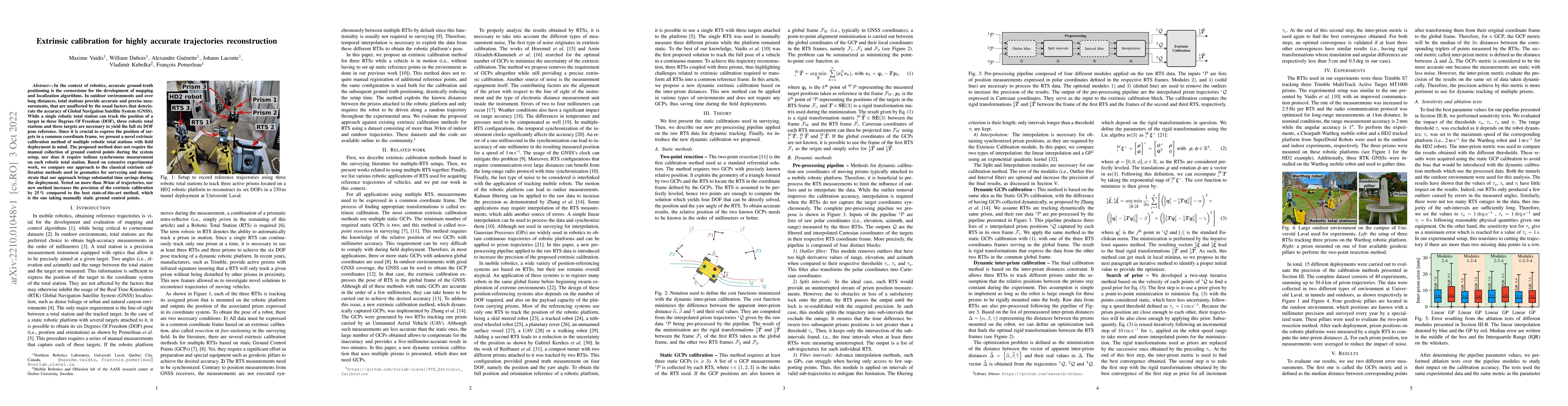
In the context of robotics, accurate ground-truth positioning is the cornerstone for the development of mapping and localization algorithms. In outdoor environments and over long distances, total stations provide accurate and precise measurements, that are unaffected by the usual factors that deteriorate the accuracy of Global Navigation Satellite System (GNSS). While a single robotic total station can track the position of a target in three Degrees Of Freedom (DOF), three robotic total stations and three targets are necessary to yield the full six DOF pose reference. Since it is crucial to express the position of targets in a common coordinate frame, we present a novel extrinsic calibration method of multiple robotic total stations with field deployment in mind. The proposed method does not require the manual collection of ground control points during the system setup, nor does it require tedious synchronous measurement on each robotic total station. Based on extensive experimental work, we compare our approach to the classical extrinsic calibration methods used in geomatics for surveying and demonstrate that our approach brings substantial time savings during the deployment. Tested on more than 30 km of trajectories, our new method increases the precision of the extrinsic calibration by 25 % compared to the best state-of-the-art method, which is the one taking manually static ground control points.
Seven facets of this paper, analysed and brought into focus by AI.
This research contributes to the development of accurate and efficient surveying methods for construction and infrastructure projects.
A novel approach combining total station and RTK-GPS for precise positioning in harsh environments.
This research contributes to the development of accurate and efficient surveying methods for construction and infrastructure projects.
The proposed method integrates total station and RTK-GPS to provide high-accuracy positioning in challenging environments.
This work presents a novel approach combining multiple surveying technologies to achieve unprecedented precision and accuracy.
Current paper (gray), citations (green), references (blue)
Display is limited for performance on very large graphs.
Discussion 0