ArxivLens

Publication

Published: May 11, 2026
Categories: cs.CV

Metrics

Source: ArXiv

AI Quick Summary

The paper presents a fully automated, monocular-vision method to measure real-scale island area and coastline using only input of place name or coordinates, producing georeferenced, orthorectified 2D maps from low-altitude image sequences. It uses a lightweight Umeyama-based trajectory alignment to recover scale from point clouds, achieving ~10% error and ~70 ms per image, validated on four islands and suitable for rapid, cost-effective coastal monitoring without prior GIS data.

Quick Answers

What is "Real-Scale Island Area and Coastline Estimation using Only its Place Name or Coordinates" about?

The paper presents a fully automated, monocular-vision method to measure real-scale island area and coastline using only input of place name or coordinates, producing georeferenced, orthorectified 2D maps from low-altitude image sequences. It uses a lightweight Umeyama-based trajectory alignment to recover scale from point clouds, achieving ~10% error and ~70 ms per image, validated on four islands and suitable for rapid, cost-effective coastal monitoring without prior GIS data.

What methodology did the authors use?

A monocular-vision based real-scale island measurement framework that uses input of geographic coordinates or place names to generate low-altitude image sequences from Google Earth Studio, reconstructs a large-scale 3D point cloud via Transformer-based Pi-Long, recovers global scale using Umeyama trajectory alignment, performs multi-view SAM3-driven semantic back-projection to obtain island masks, and executes grid-based rasterization to compute area and perimeter on... More in Methodology →

What are the key results?

Demonstrated ~10% average measurement error across four islands with diverse terrain features, indicating robust accuracy. — Achieved fast inference, processing a single high-resolution frame in about 70 ms to produce point clouds and measurements. More in Key Results →

Why is this work significant?

Provides a cost-effective, fast, and scalable paradigm for real-scale island area and coastline estimation without traditional GIS data or ground control points, enabling rapid coastal monitoring and maritime planning using monocular imagery and web-GIS data. More in Significance →

What are the main limitations?

Measurement accuracy degrades in complex vegetated or highly textured coastlines, leading to under-/over-estimation in some cases. — Dependence on oblique imagery and scenes with occlusions can affect boundary accuracy near shorelines. More in Limitations →

Paper Preview

Abstract

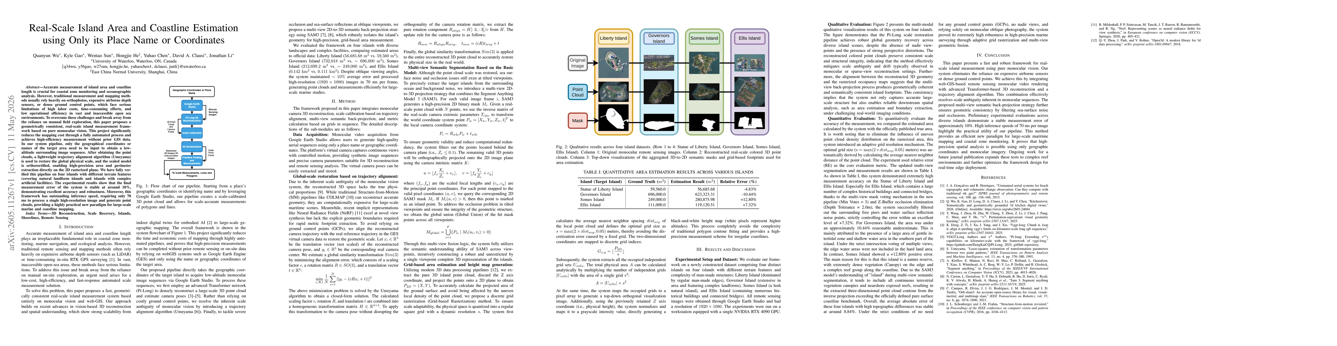
Accurate measurement of island area and coastline length is crucial for coastal zone monitoring and oceanographic analysis. However, traditional measurement and mapping methods usually rely heavily on orthophotos, expensive airborne depth sensors, or dense ground control points, which face serious limitations of high labor costs, time-consuming efforts, and low operational efficiency in vast and inaccessible open sea environments. To overcome these challenges and break away from the reliance on manual field exploration, this paper proposes a geometrically consistent, real-scale island measurement framework based on pure monocular vision. This project significantly reduces the mapping cost through a fully automated process and achieves high-efficiency measurement without prior GIS data. In our system pipeline, only the geographical coordinates or names of the target area need to be input to obtain a low-altitude surrounding image sequence. After obtaining the point clouds, a lightweight trajectory alignment algorithm (Umeyama) is used to restore the global physical scale, and the scaled model is orthorectified, enabling high-precision area and perimeter extraction directly on the 2D rasterized plane. We have fully verified this pipeline on four islands with different terrain features (covering natural landform islands and islands with complex artificial facilities). The experimental results show that the final measurement error of the system is stable at around 10\%, demonstrating excellent accuracy and robustness. Moreover, this framework has outstanding inference speed, requiring only 70 ms to process a single high-resolution image and generate point clouds, providing a highly practical new paradigm for large-scale marine and coastline
Key Findings, in focus

Seven facets of this paper, analysed and brought into focus by AI.

AI-generated · verify against source Generated May 13, 2026
In focus · one-line synthesis

Provides a cost-effective, fast, and scalable paradigm for real-scale island area and coastline estimation without traditional GIS data or ground control points, enabling rapid coastal monitoring and maritime planning using monocular imagery and web-GIS data.

01
MethodologyHow they did it

A monocular-vision based real-scale island measurement framework that uses input of geographic coordinates or place names to generate low-altitude image sequences from Google Earth Studio, reconstructs a large-scale 3D point cloud via Transformer-based Pi-Long, recovers global scale using Umeyama trajectory alignment, performs multi-view SAM3-driven semantic back-projection to obtain island masks, and executes grid-based rasterization to compute area and perimeter on a 2D plane.

02
ResultsWhat they found
  • Demonstrated ~10% average measurement error across four islands with diverse terrain features, indicating robust accuracy.
  • Achieved fast inference, processing a single high-resolution frame in about 70 ms to produce point clouds and measurements.
  • Grid-adaptive rasterization reduced the impact of uneven point density and improved area estimation stability.
  • Multi-view semantic fusion (SAM3) effectively suppresses sea-surface noise and occlusions to extract coherent island footprints.
  • Result comparisons to official areas showed close agreement, enabling reliable large-scale marine shoreline analysis.
03
SignificanceWhy it matters

Provides a cost-effective, fast, and scalable paradigm for real-scale island area and coastline estimation without traditional GIS data or ground control points, enabling rapid coastal monitoring and maritime planning using monocular imagery and web-GIS data.

04
Technical ContributionsWhat's new technically

Integration of monocular 3D reconstruction with trajectory-based scale recovery, multi-view semantic back-projection for island extraction, and grid-based area/perimeter computation enabling real-scale measurements from simple place-name or coordinate inputs.

05
NoveltyWhat sets it apart

First framework to achieve real-scale island area and coastline estimation solely from monocular web-GIS image sequences by combining Pi-Long based large-scale 3D reconstruction, Umeyama scale alignment, SAM3-driven multi-view island segmentation, and grid-based rasterization for metric measurement.

06
LimitationsWhat to be cautious about
  • Measurement accuracy degrades in complex vegetated or highly textured coastlines, leading to under-/over-estimation in some cases.
  • Dependence on oblique imagery and scenes with occlusions can affect boundary accuracy near shorelines.
  • Reliance on Google Earth Studio workflows may introduce geo-registration constraints and potential licensing considerations.
07
Future WorkWhere it goes next
  • Extend testing to more diverse reef-like and densely built coastlines to quantify robustness.
  • Optimize real-time deployment for edge devices to achieve true real-time coastline analytics.
  • Explore alternative global scale recovery strategies to reduce dependence on trajectory alignment.
  • Refine SAM3-based segmentation to further improve boundary fidelity in rural and urban island contexts.

Paper Details

Paper ID: 2605.11267
Comments: Accepted for publication at IEEE OCEANS (Sanya) 2026
Categories:
cs.CV

How to Cite This Paper

Reference manager: RIS EndNote

Related Papers

4 found


Discussion 0

This website uses cookies to ensure you get the best experience. Learn more