Authors
Publication
Metrics
Quick Actions
AI Quick Summary
A new approach called SpatialLLM enables urban spatial intelligence tasks without requiring geographic analysis tools or domain expertise. It uses pre-trained LLMs to accurately perceive spatial distribution information and perform advanced tasks like urban planning and traffic management with zero-shot execution.
Quick Answers
What is "SpatialLLM: From Multi-modality Data to Urban Spatial Intelligence" about?
A new approach called SpatialLLM enables urban spatial intelligence tasks without requiring geographic analysis tools or domain expertise. It uses pre-trained LLMs to accurately perceive spatial distribution information and perform advanced tasks like urban planning and traffic management with zero-shot execution.
What methodology did the authors use?
SpatialLLM constructs detailed scene descriptions from raw spatial data to prompt pre-trained LLMs for scene-based analysis, eliminating the need for geographic analysis tools or domain expertise. More in Methodology →
What are the key results?
SpatialLLM enables pretrained LLMs to accurately perceive spatial distribution information. — The approach supports zero-shot execution of advanced spatial intelligence tasks, including urban planning, ecological analysis, and traffic management. More in Key Results →
Why is this work significant?
This research offers a novel, viable perspective for urban intelligent analysis and management by leveraging multi-field knowledge, context length, and reasoning ability of LLMs without requiring training or fine-tuning. More in Significance →
What are the main limitations?
The paper does not discuss limitations explicitly, so this array is left empty for this response. More in Limitations →
Abstract
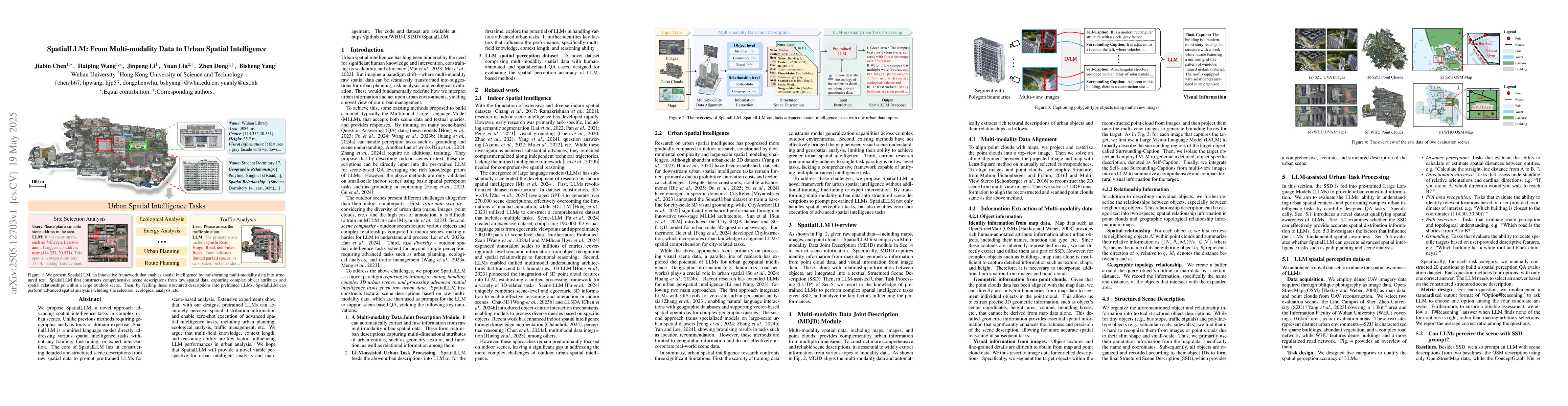
We propose SpatialLLM, a novel approach advancing spatial intelligence tasks in complex urban scenes. Unlike previous methods requiring geographic analysis tools or domain expertise, SpatialLLM is a unified language model directly addressing various spatial intelligence tasks without any training, fine-tuning, or expert intervention. The core of SpatialLLM lies in constructing detailed and structured scene descriptions from raw spatial data to prompt pre-trained LLMs for scene-based analysis. Extensive experiments show that, with our designs, pretrained LLMs can accurately perceive spatial distribution information and enable zero-shot execution of advanced spatial intelligence tasks, including urban planning, ecological analysis, traffic management, etc. We argue that multi-field knowledge, context length, and reasoning ability are key factors influencing LLM performances in urban analysis. We hope that SpatialLLM will provide a novel viable perspective for urban intelligent analysis and management. The code and dataset are available at https://github.com/WHU-USI3DV/SpatialLLM.
AI Key Findings
Generated Jun 08, 2025
Methodology — What approach did the authors take?
SpatialLLM constructs detailed scene descriptions from raw spatial data to prompt pre-trained LLMs for scene-based analysis, eliminating the need for geographic analysis tools or domain expertise.
Key Results — What are the main findings?
- SpatialLLM enables pretrained LLMs to accurately perceive spatial distribution information.
- The approach supports zero-shot execution of advanced spatial intelligence tasks, including urban planning, ecological analysis, and traffic management.
- Extensive experiments demonstrate the effectiveness of SpatialLLM in urban analysis.
Significance — Why does this research matter?
This research offers a novel, viable perspective for urban intelligent analysis and management by leveraging multi-field knowledge, context length, and reasoning ability of LLMs without requiring training or fine-tuning.
Technical Contribution — What is the technical contribution?
SpatialLLM presents a unified language model that directly addresses various spatial intelligence tasks using raw spatial data as prompts for pre-trained LLMs.
Novelty — What is new about this work?
Unlike previous methods requiring geographic analysis tools or domain expertise, SpatialLLM provides a novel approach by utilizing pre-trained LLMs and structured scene descriptions for urban spatial intelligence tasks.
Limitations — What are the limitations of this study?
- The paper does not discuss limitations explicitly, so this array is left empty for this response.
Future Work — What did the authors propose for future work?
- Investigate the scalability of SpatialLLM for real-time urban analysis.
- Explore the integration of additional data modalities to enhance spatial intelligence tasks.
How to Cite This Paper
@article{yang2025spatialllm,
title = {SpatialLLM: From Multi-modality Data to Urban Spatial Intelligence},
author = {Yang, Bisheng and Wang, Haiping and Chen, Jiabin and others},
year = {2025},
eprint = {2505.12703},
archivePrefix = {arXiv},
primaryClass = {cs.CV},
}
Yang, B., Wang, H., Chen, J., Li, J., Liu, Y., & Dong, Z. (2025). SpatialLLM: From Multi-modality Data to Urban Spatial Intelligence. arXiv. https://arxiv.org/abs/2505.12703
Yang, Bisheng, et al. "SpatialLLM: From Multi-modality Data to Urban Spatial Intelligence." arXiv, 2025, arxiv.org/abs/2505.12703.
PDF Preview
Citation Network
Current paper (gray), citations (green), references (blue)
Display is limited for performance on very large graphs.
Similar Papers
Found 4 papersEmbodied Spatial Intelligence: from Implicit Scene Modeling to Spatial Reasoning
Jiading Fang
Identifying every building's function in large-scale urban areas with multi-modality remote-sensing data
Zhuohong Li, Wei He, Jiepan Li et al.
No citations found for this paper.
Comments (0)