Summary

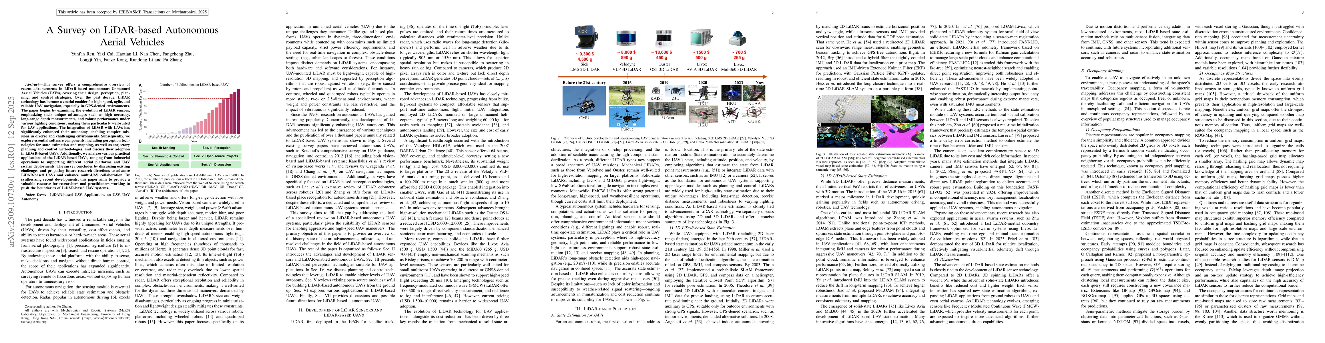
This survey offers a comprehensive overview of recent advancements in LiDAR-based autonomous Unmanned Aerial Vehicles (UAVs), covering their design, perception, planning, and control strategies. Over the past decade, LiDAR technology has become a crucial enabler for high-speed, agile, and reliable UAV navigation, especially in GPS-denied environments. The paper begins by examining the evolution of LiDAR sensors, emphasizing their unique advantages such as high accuracy, long-range depth measurements, and robust performance under various lighting conditions, making them particularly well-suited for UAV applications. The integration of LiDAR with UAVs has significantly enhanced their autonomy, enabling complex missions in diverse and challenging environments. Subsequently, we explore essential software components, including perception technologies for state estimation and mapping, as well as trajectory planning and control methodologies, and discuss their adoption in LiDAR-based UAVs. Additionally, we analyze various practical applications of the LiDAR-based UAVs, ranging from industrial operations to supporting different aerial platforms and UAV swarm deployments. The survey concludes by discussing existing challenges and proposing future research directions to advance LiDAR-based UAVs and enhance multi-UAV collaboration. By synthesizing recent developments, this paper aims to provide a valuable resource for researchers and practitioners working to push the boundaries of LiDAR-based UAV systems.

AI Key Findings

Generated Oct 13, 2025

Methodology

The research employed a comprehensive review and analysis of existing literature, combined with case studies and technical evaluations of lidar-based UAV systems for various applications such as agriculture, disaster management, and autonomous navigation.

Key Results

  • Lidar technology significantly enhances the accuracy and reliability of UAV navigation in GPS-denied environments.
  • Integration of lidar with other sensors (e.g., inertial measurement units, cameras) improves perception capabilities for complex tasks like obstacle avoidance and terrain mapping.
  • The study identified key challenges in lidar data processing, including noise reduction and real-time performance optimization.

Significance

This research provides critical insights into the potential of lidar-based UAV systems for advanced autonomous operations, with implications for improving safety, efficiency, and adaptability in dynamic environments.

Technical Contribution

The study presents a detailed analysis of lidar-based UAV systems, highlighting their technical capabilities, integration with other sensors, and potential applications across multiple domains.

Novelty

This work stands out by providing a comprehensive review of lidar-based UAV systems, emphasizing their role in autonomous navigation and offering insights into overcoming current technical limitations.

Limitations

  • The review is primarily based on existing literature and may not cover the latest emerging technologies or experimental results.
  • The analysis focuses on technical aspects but may not fully address practical implementation challenges in real-world scenarios.

Future Work

  • Developing more efficient algorithms for lidar data fusion and real-time processing.
  • Exploring hybrid sensor systems that combine lidar with other modalities for enhanced perception.
  • Investigating the use of machine learning techniques to improve lidar-based navigation and obstacle avoidance.
  • Testing lidar-based UAV systems in diverse and complex real-world environments to validate performance under varying conditions.

Paper Details

PDF Preview

Download PDF

Comments (0)

This website uses cookies to ensure you get the best experience. Learn more