Publication
Metrics
AI Quick Summary
This paper introduces Fields of the Planet (FTP), a 3 m PlanetScope counterpart to Fields of The World (FTW), pairing the same field polygons and data splits to enable high-resolution field boundary mapping across 24 countries. Using vectorized predictions and standard metrics, FTP shows that 3 m imagery dramatically improves field delineation (PQ up to 35.5, especially for small fields) and reduces boundary errors from 18.6 m to 7.4 m, enabling more accurate crop monitoring and planning.
Paper Preview
Abstract
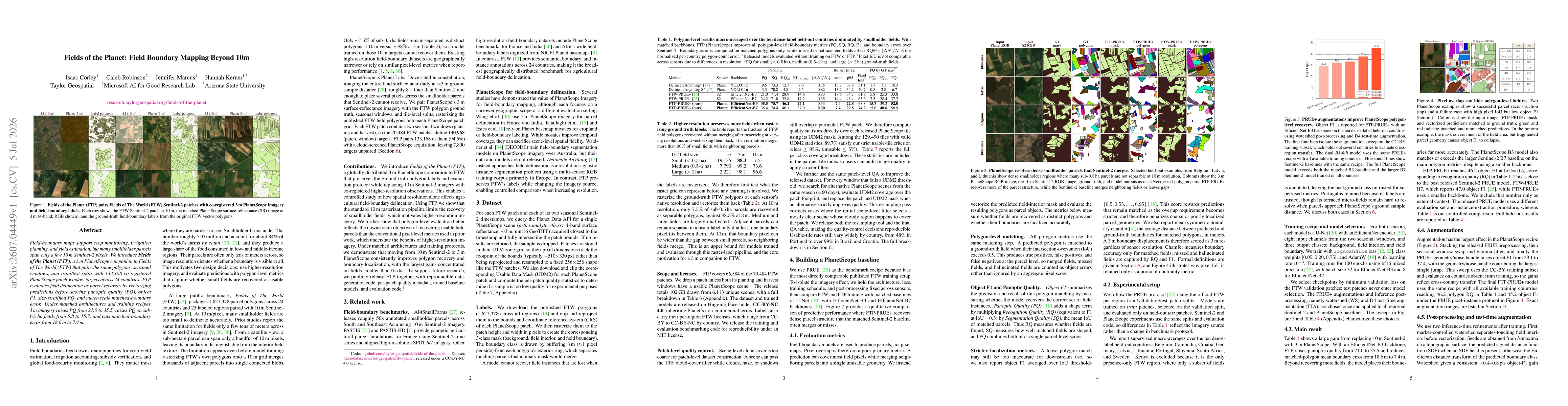
Field-boundary maps support crop monitoring, irrigation planning, and yield estimation, but many smallholder parcels span only a few 10 m Sentinel-2 pixels. We introduce Fields of the Planet (FTP), a 3 m PlanetScope companion to Fields of The World (FTW) that pairs the same polygons, seasonal windows, and train/test splits with 133,168 co-registered PlanetScope patch-window targets across 24 countries. FTP evaluates field delineation as parcel recovery by vectorizing predictions before scoring panoptic quality (PQ), object F1, size-stratified PQ, and meter-scale matched-boundary error. Under matched architectures and training recipes, 3 m imagery raises PQ from 21.0 to 35.5, raises PQ on sub-0.5 ha fields from 5.8 to 15.7, and cuts matched-boundary error from 18.6 m to 7.4 m.
AI Key Findings
Get AI-generated insights about this paper's methodology, results, significance, and more — seven facets brought into focus.
Discussion 0