FU-MPC integrates a hierarchical exploration framework with an independently actuated rotating LiDAR on a UAV. The global planner aggregates frontiers into representative viewpoints and sequences them using a topology-aware global cost that accounts for path reachability, vertical motion burden, and heading consistency. A local receding-horizon model predictive control (MPC) optimizes LiDAR rotation along the predicted trajectory, jointly considering frontier-aware exploration utility and direction-dependent localization uncertainty via Fisher-information-based surrogates and an A-optimality criterion. Real-time feasibility is achieved through lightweight piecewise-linear surrogates to approximate the predictive utility field, enabling onboard execution within a 0.1 s control cycle. The hardware design decouples scan motion from UAV dynamics through a timing hub for synchronized LiDAR, IMU, and encoder data streams, ensuring consistent sensor fusion for SLAM.
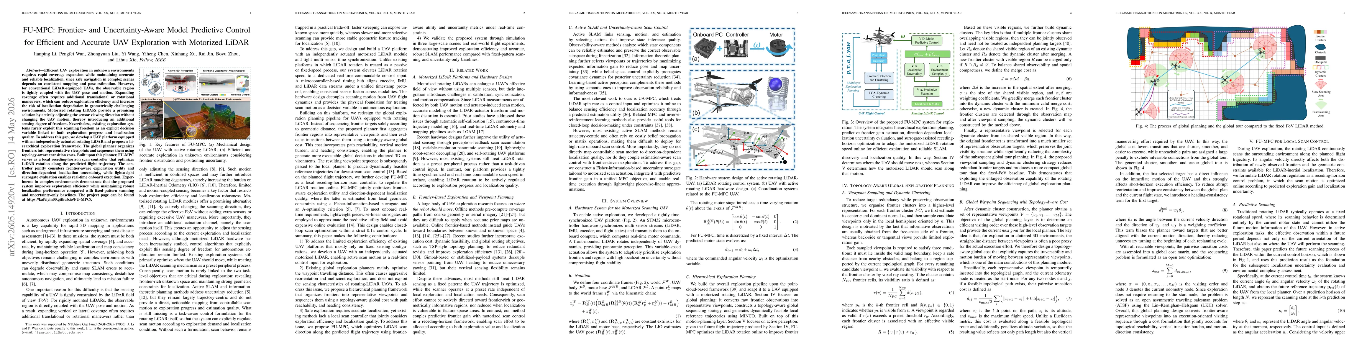
FU-MPC: Frontier- and Uncertainty-Aware Model Predictive Control for Efficient and Accurate UAV Exploration with Motorized LiDAR
Publication
Metrics
Quick Answers
What methodology did the authors use?
FU-MPC integrates a hierarchical exploration framework with an independently actuated rotating LiDAR on a UAV. The global planner aggregates frontiers into representative viewpoints and sequences them using a topology-aware global cost that accounts for path reachability, vertical motion burden, and heading consistency. A local receding-horizon model predictive control (MPC) optimizes LiDAR rotation along the predicted trajectory, jointly considering frontier-aware exploration... More in Methodology →
What are the key results?
Experiments in complex environments show improved exploration efficiency while maintaining robust SLAM performance compared with fixed-pattern scanning and uncertainty-only baselines. — Onboard real-time FU-MPC control achieves tight performance with a 0.1 s cycle, enabling responsive scan-direction updates during flight. More in Key Results →
Why is this work significant?
The work presents a cohesive framework that explicitly treats LiDAR scan motion as a controllable input, linking sensing decisions to exploration progress and localization reliability, thereby improving UAV exploration efficiency in unknown 3D environments with motorized LiDARs. More in Significance →
What are the main limitations?
Validation primarily covers simulated and three large-scale scenes; real-world generalization to highly dynamic environments remains to be tested. — The reliance on a specialized motorized LiDAR platform may limit immediate transfer to UAVs lacking such hardware. More in Limitations →
Paper Preview
Abstract
Efficient UAV exploration in unknown environments requires rapid coverage expansion while maintaining accurate and reliable localization, since safe navigation in complex scenes depends on consistent mapping and pose estimation. However, for conventional LiDAR-equipped UAVs, the observable region is tightly coupled with the UAV pose and motion. Expanding coverage often requires additional translational or rotational maneuvers, which can reduce exploration efficiency and increase the risk of localization degradation in geometrically challenging environments. Motorized rotating LiDARs provide a promising solution by actively adjusting the sensor viewing direction without changing the UAV motion, thereby introducing an additional sensing degree of freedom. Nevertheless, existing exploration systems rarely exploit this scanning freedom as an explicit decision variable linked to both exploration progress and localization quality. To address this gap, we develop a UAV platform equipped with an independently actuated rotating LiDAR and propose a hierarchical exploration framework. The global planner organizes frontiers into representative viewpoints and sequences them using topology-aware transition costs. Built upon this planner, FU-MPC serves as a local receding-horizon scan controller that optimizes LiDAR rotation along the predicted flight trajectory. The controller jointly considers frontier-aware exploration utility and direction-dependent localization uncertainty, while lightweight surrogate evaluation enables real-time onboard execution. Experiments in complex environments demonstrate that the proposed system improves exploration efficiency while maintaining robust localization performance compared with fixed-pattern scanning and uncertainty-only baselines. The project page can be found at https://kafeiyin00.github.io/FU-MPC/.
Key Findings, in focus
Seven facets of this paper, analysed and brought into focus by AI.
The work presents a cohesive framework that explicitly treats LiDAR scan motion as a controllable input, linking sensing decisions to exploration progress and localization reliability, thereby improving UAV exploration efficiency in unknown 3D environments with motorized LiDARs.
- Experiments in complex environments show improved exploration efficiency while maintaining robust SLAM performance compared with fixed-pattern scanning and uncertainty-only baselines.
- Onboard real-time FU-MPC control achieves tight performance with a 0.1 s cycle, enabling responsive scan-direction updates during flight.
- The system demonstrates better coverage of frontier-rich areas due to topology-aware viewpoint sequencing and active scan direction control.
- CPU profiling indicates the Global Exploration Planning, Local Scan Control, and SLAM modules collectively satisfy real-time requirements with ample headroom on edge hardware.
The work presents a cohesive framework that explicitly treats LiDAR scan motion as a controllable input, linking sensing decisions to exploration progress and localization reliability, thereby improving UAV exploration efficiency in unknown 3D environments with motorized LiDARs.
A novel FU-MPC framework that (i) treats motorized LiDAR scan motion as an explicit control input within a receding-horizon MPC, (ii) uses a topology-aware global planner to select informative viewpoints and transitions, and (iii) couples frontier-driven exploration with direction-dependent localization metrics via Fisher information and A-optimality surrogates for real-time onboard execution.
The paper introduces the first integrated approach that synchronizes an independently actuated rotating LiDAR with a receding-horizon scan controller and topology-aware frontier planning, enabling active, uncertainty-aware exploration that directly optimizes both exploration progress and localization quality in UAVs.
- Validation primarily covers simulated and three large-scale scenes; real-world generalization to highly dynamic environments remains to be tested.
- The reliance on a specialized motorized LiDAR platform may limit immediate transfer to UAVs lacking such hardware.
- Surrogate models, while lightweight, may introduce approximation errors in highly nonlinear sensing scenarios.
- Extend the framework to multi-UAV collaboration with coordinated frontier sharing and LiDAR scan allocation.
- Investigate adaptive surrogate refinement to further reduce conservatism in localization uncertainty estimates.
- Explore robustness to sensor failures and degraded communication in contested or GPS-denied environments.
Discussion 0