Publication
Metrics
Paper Preview
Abstract
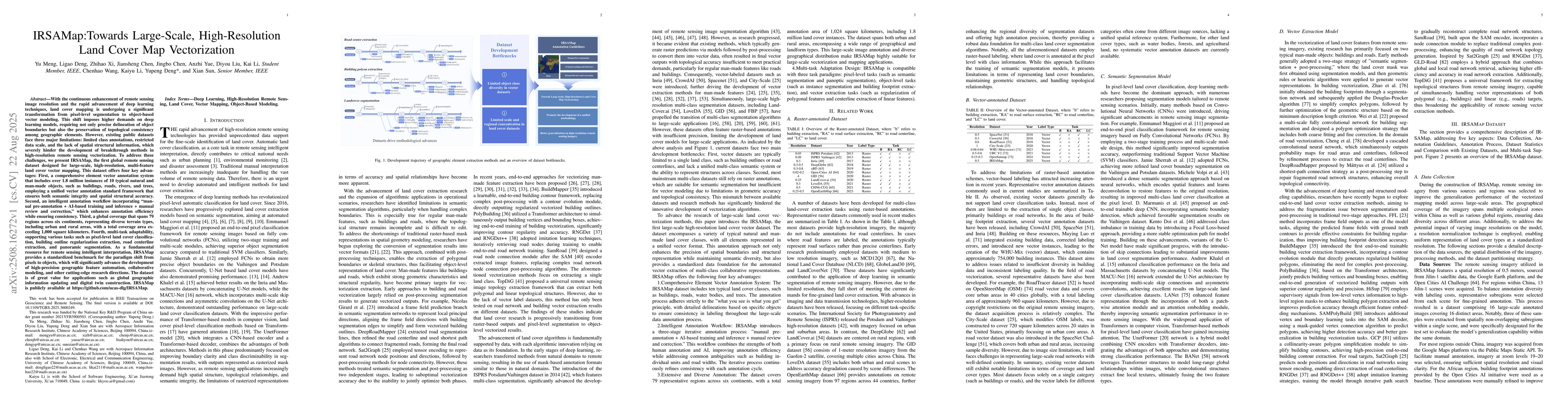
With the enhancement of remote sensing image resolution and the rapid advancement of deep learning, land cover mapping is transitioning from pixel-level segmentation to object-based vector modeling. This shift demands more from deep learning models, requiring precise object boundaries and topological consistency. However, existing datasets face three main challenges: limited class annotations, small data scale, and lack of spatial structural information. To overcome these issues, we introduce IRSAMap, the first global remote sensing dataset for large-scale, high-resolution, multi-feature land cover vector mapping. IRSAMap offers four key advantages: 1) a comprehensive vector annotation system with over 1.8 million instances of 10 typical objects (e.g., buildings, roads, rivers), ensuring semantic and spatial accuracy; 2) an intelligent annotation workflow combining manual and AI-based methods to improve efficiency and consistency; 3) global coverage across 79 regions in six continents, totaling over 1,000 km; and 4) multi-task adaptability for tasks like pixel-level classification, building outline extraction, road centerline extraction, and panoramic segmentation. IRSAMap provides a standardized benchmark for the shift from pixel-based to object-based approaches, advancing geographic feature automation and collaborative modeling. It is valuable for global geographic information updates and digital twin construction. The dataset is publicly available at https://github.com/ucas-dlg/IRSAMap
AI Key Findings
Get AI-generated insights about this paper's methodology, results, significance, and more — seven facets brought into focus.
Discussion 0