Robust Burned Area Delineation through Multitask Learning
Publication
Metrics
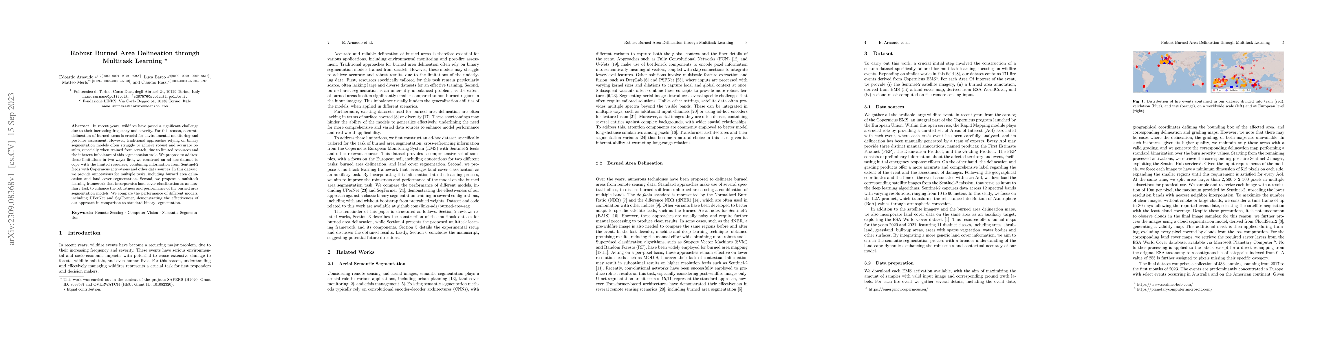
AI Quick Summary
This paper proposes a robust burned area delineation method using a multitask learning framework that leverages land cover classification to improve segmentation accuracy. The authors construct a dataset combining Sentinel-2 and Copernicus data, and demonstrate superior performance of their approach compared to traditional binary segmentation models.
Paper Preview
Abstract
In recent years, wildfires have posed a significant challenge due to their increasing frequency and severity. For this reason, accurate delineation of burned areas is crucial for environmental monitoring and post-fire assessment. However, traditional approaches relying on binary segmentation models often struggle to achieve robust and accurate results, especially when trained from scratch, due to limited resources and the inherent imbalance of this segmentation task. We propose to address these limitations in two ways: first, we construct an ad-hoc dataset to cope with the limited resources, combining information from Sentinel-2 feeds with Copernicus activations and other data sources. In this dataset, we provide annotations for multiple tasks, including burned area delineation and land cover segmentation. Second, we propose a multitask learning framework that incorporates land cover classification as an auxiliary task to enhance the robustness and performance of the burned area segmentation models. We compare the performance of different models, including UPerNet and SegFormer, demonstrating the effectiveness of our approach in comparison to standard binary segmentation.
AI Key Findings
Get AI-generated insights about this paper's methodology, results, significance, and more — seven facets brought into focus.
Impact
Paper Details
Authors
PDF Preview
Key Terms
Citation Network
Current paper (gray), citations (green), references (blue)
Display is limited for performance on very large graphs.
Discussion 0