Researchers introduce TiMo, a novel foundation model for analyzing satellite image time series, which effectively captures evolving patterns across space and time. TiMo outperforms state-of-the-art methods in various spatiotemporal tasks, such as deforestation monitoring and flood detection.
Satellite image time series (SITS) provide continuous observations of the Earth's surface, making them essential for applications such as environmental management and disaster assessment. However, existing spatiotemporal foundation models rely on plain vision transformers, which encode entire temporal sequences without explicitly capturing multiscale spatiotemporal relationships between land objects. This limitation hinders their effectiveness in downstream 
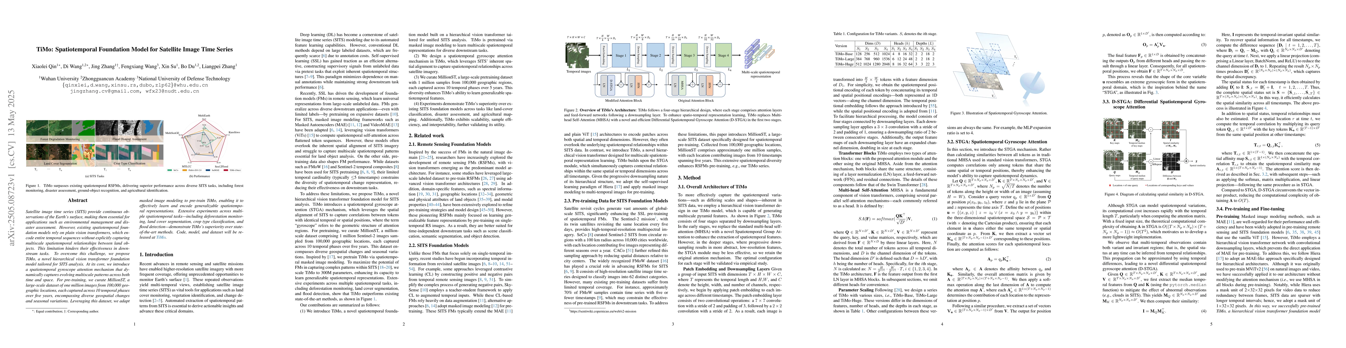
tasks. To overcome this challenge, we propose TiMo, a novel hierarchical vision transformer foundation model tailored for SITS analysis. At its core, we introduce a spatiotemporal gyroscope attention mechanism that dynamically captures evolving multiscale patterns across both time and space. For pre-training, we curate MillionST, a large-scale dataset of one million images from 100,000 geographic locations, each captured across 10 temporal phases over five years, encompassing diverse geospatial changes and seasonal variations. Leveraging this dataset, we adapt masked image modeling to pre-train TiMo, enabling it to effectively learn and encode generalizable spatiotemporal representations.Extensive experiments across multiple spatiotemporal tasks-including deforestation monitoring, land cover segmentation, crop type classification, and flood detection-demonstrate TiMo's superiority over state-of-the-art methods. Code, model, and dataset will be released at https://github.com/MiliLab/TiMo.
Generated Jun 08, 2025
The research proposes TiMo, a hierarchical vision transformer foundation model designed for satellite image time series (SITS) analysis. It introduces a spatiotemporal gyroscope attention mechanism to dynamically capture evolving multiscale patterns across time and space. Pre-training is conducted using MillionST, a large-scale dataset of one million images from 100,000 locations over five years, with masked image modeling for learning spatiotemporal representations.
This research is significant as it addresses the limitation of existing spatiotemporal foundation models by explicitly capturing multiscale spatiotemporal relationships in SITS, thereby improving effectiveness in downstream tasks crucial for environmental management and disaster assessment.
The introduction of the spatiotemporal gyroscope attention mechanism for capturing evolving multiscale patterns in SITS and the development of the MillionST dataset for pre-training the model.
TiMo differs from existing research by explicitly modeling multiscale spatiotemporal relationships in SITS using a novel attention mechanism, and by pre-training on a large-scale, diverse dataset encompassing geospatial and seasonal variations.
Current paper (gray), citations (green), references (blue)
Display is limited for performance on very large graphs.
Wadii Boulila, Imed Riadh Farah, Zouhayra Ayadi
Xin Cai, Yaxin Bi, Peter Nicholl et al.
No citations found for this paper.
Comments (0)