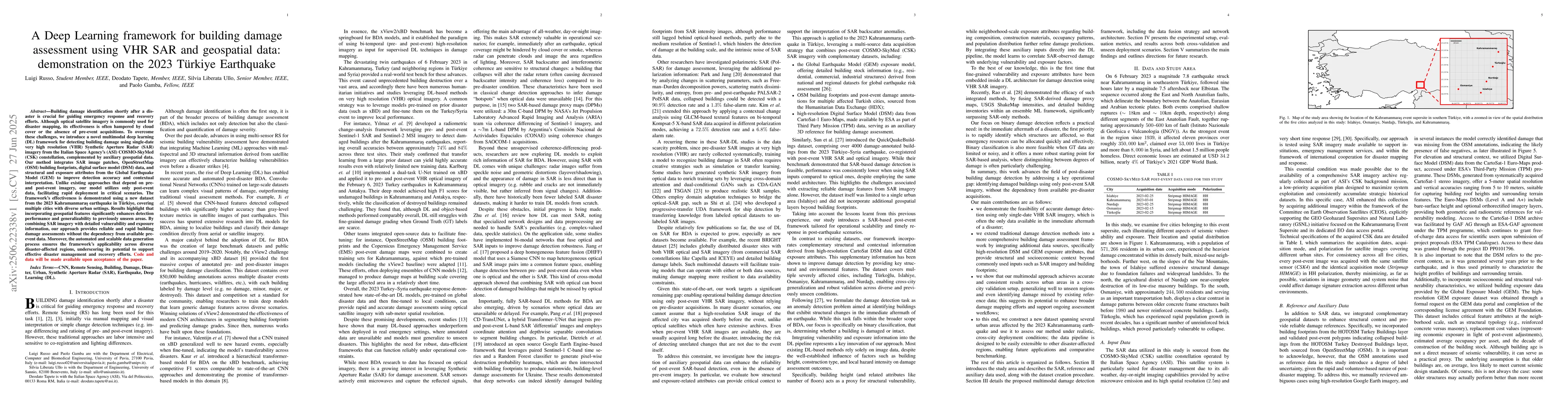
Building damage identification shortly after a disaster is crucial for
guiding emergency response and recovery efforts. Although optical satellite
imagery is commonly used for disaster mapping, its effectiveness is often
hampered by cloud cover or the absence of pre-event acquisitions. To overcome
these challenges, we introduce a novel multimodal deep learning (DL) framework
for detecting building damage using single-date very high resolution (VHR)
Synthetic Aperture Radar (SAR) imagery from the Italian Space Agency (ASI)
COSMO SkyMed (CSK) constellation, complemented by auxiliary geospatial data.
Our method integrates SAR image patches, OpenStreetMap (OSM) building
footprints, digital surface model (DSM) data, and structural and exposure
attributes from the Global Earthquake Model (GEM) to improve detection accuracy
and contextual interpretation. Unlike existing approaches that depend on pre
and post event imagery, our model utilizes only post event data, facilitating
rapid deployment in critical scenarios. The framework effectiveness is
demonstrated using a new dataset from the 2023 earthquake in Turkey, covering
multiple cities with diverse urban settings. Results highlight that
incorporating geospatial features significantly enhances detection performance
and generalizability to previously unseen areas. By combining SAR imagery with
detailed vulnerability and exposure information, our approach provides reliable
and rapid building damage assessments without the dependency from available
pre-event data. Moreover, the automated and scalable data generation process
ensures the framework's applicability across diverse disaster-affected regions,
underscoring its potential to support effective disaster management and
recovery efforts. Code and data will be made available upon acceptance of the
paper.
Discussion 0