Sphere2Vec: Multi-Scale Representation Learning over a Spherical Surface for Geospatial Predictions
Publication
Metrics
AI Quick Summary
A new method called Sphere2Vec encodes points on a spherical surface, avoiding projection distortion in GPS coordinates, and achieves better performance than existing methods in geospatial prediction tasks, especially in polar regions and data-sparse areas.
Paper Preview
Abstract
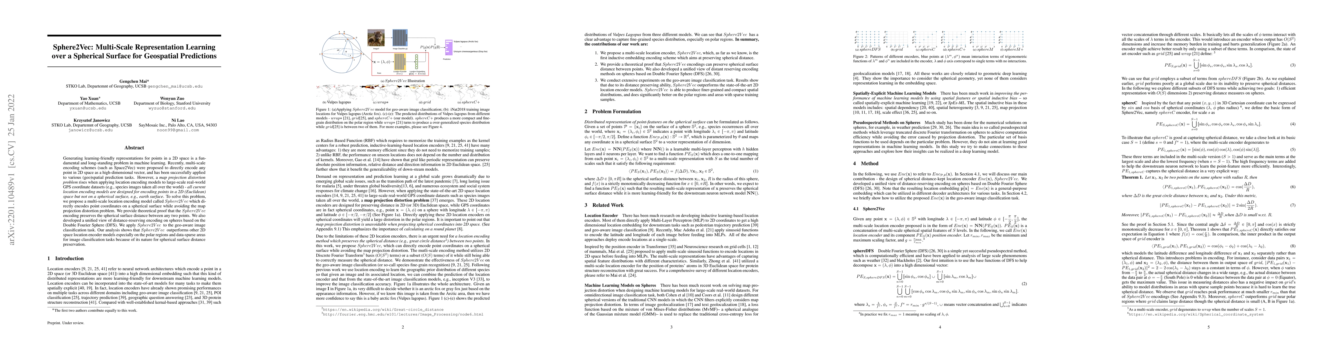
Generating learning-friendly representations for points in a 2D space is a fundamental and long-standing problem in machine learning. Recently, multi-scale encoding schemes (such as Space2Vec) were proposed to directly encode any point in 2D space as a high-dimensional vector, and has been successfully applied to various (geo)spatial prediction tasks. However, a map projection distortion problem rises when applying location encoding models to large-scale real-world GPS coordinate datasets (e.g., species images taken all over the world) - all current location encoding models are designed for encoding points in a 2D (Euclidean) space but not on a spherical surface, e.g., earth surface. To solve this problem, we propose a multi-scale location encoding model called Sphere2V ec which directly encodes point coordinates on a spherical surface while avoiding the mapprojection distortion problem. We provide theoretical proof that the Sphere2Vec encoding preserves the spherical surface distance between any two points. We also developed a unified view of distance-reserving encoding on spheres based on the Double Fourier Sphere (DFS). We apply Sphere2V ec to the geo-aware image classification task. Our analysis shows that Sphere2V ec outperforms other 2D space location encoder models especially on the polar regions and data-sparse areas for image classification tasks because of its nature for spherical surface distance preservation.
OpenAlex
- Citations in OpenAlex
- 2
- Publication year
- 2022
- Access status
- Open access
Source: OpenAlex · Snapshot
AI Key Findings
Get AI-generated insights about this paper's methodology, results, significance, and more — seven facets brought into focus.
Impact
Paper Details
Authors
PDF Preview
Key Terms
Citation Network
Current paper (gray), citations (green), references (blue)
Display is limited for performance on very large graphs.
Discussion 0