ArxivLens

Publication

Published: Feb 23, 2026
Categories: cs.CV, cs.AI

Metrics

Source: ArXiv

Quick Answers

What methodology did the authors use?

Satellite-based detection pipeline using PlanetScope monthly mosaics (4.7 m/pixel) and a curated dataset of 1,943 Afghan archaeological sites; compares ImageNet‑pretrained CNNs trained on raw RGB patches with spatial masking against traditional ML classifiers using handcrafted spectral/texture features and embeddings from geospatial foundation models, with various temporal aggregation strategies More in Methodology →

What are the key results?

ImageNet‑pretrained CNNs with spatial masking achieve an F1 score of 0.926, surpassing the best traditional ML setup (F1 = 0.710) — Spatial masking provides large performance gains (+0.30 to +0.45 F1) for both CNNs and some traditional ML models More in Key Results →

Why is this work significant?

Provides a scalable, satellite‑based method for monitoring looted archaeological sites, enabling timely interventions and demonstrating the power of transfer learning and spatial priors in heritage protection More in Significance →

What are the main limitations?

Results are limited to Afghanistan and may not generalize to other geographies or land‑use contexts — PlanetScope’s 4.7 m resolution and monthly composites may miss fine‑scale disturbances and short‑lived events More in Limitations →

Paper Preview

Abstract

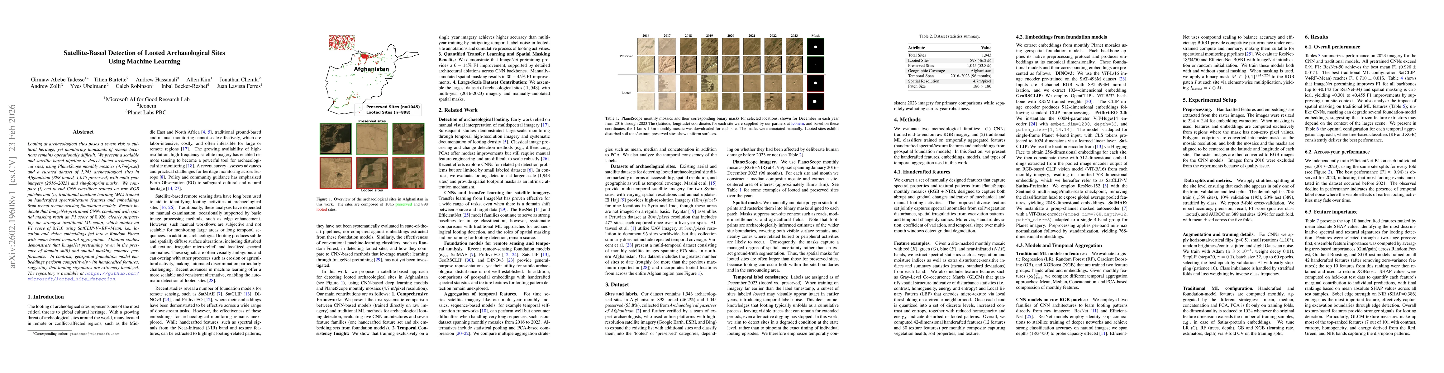
Looting at archaeological sites poses a severe risk to cultural heritage, yet monitoring thousands of remote locations remains operationally difficult. We present a scalable and satellite-based pipeline to detect looted archaeological sites, using PlanetScope monthly mosaics (4.7m/pixel) and a curated dataset of 1,943 archaeological sites in Afghanistan (898 looted, 1,045 preserved) with multi-year imagery (2016--2023) and site-footprint masks. We compare (i) end-to-end CNN classifiers trained on raw RGB patches and (ii) traditional machine learning (ML) trained on handcrafted spectral/texture features and embeddings from recent remote-sensing foundation models. Results indicate that ImageNet-pretrained CNNs combined with spatial masking reach an F1 score of 0.926, clearly surpassing the strongest traditional ML setup, which attains an F1 score of 0.710 using SatCLIP-V+RF+Mean, i.e., location and vision embeddings fed into a Random Forest with mean-based temporal aggregation. Ablation studies demonstrate that ImageNet pretraining (even in the presence of domain shift) and spatial masking enhance performance. In contrast, geospatial foundation model embeddings perform competitively with handcrafted features, suggesting that looting signatures are extremely localized. The repository is available at https://github.com/microsoft/looted_site_detection.

Key Findings, in focus

Seven facets of this paper, analysed and brought into focus by AI.

AI-generated · verify against source Generated Feb 24, 2026
In focus · one-line synthesis

Provides a scalable, satellite‑based method for monitoring looted archaeological sites, enabling timely interventions and demonstrating the power of transfer learning and spatial priors in heritage protection

01
MethodologyHow they did it

Satellite-based detection pipeline using PlanetScope monthly mosaics (4.7 m/pixel) and a curated dataset of 1,943 Afghan archaeological sites; compares ImageNet‑pretrained CNNs trained on raw RGB patches with spatial masking against traditional ML classifiers using handcrafted spectral/texture features and embeddings from geospatial foundation models, with various temporal aggregation strategies

02
ResultsWhat they found
  • ImageNet‑pretrained CNNs with spatial masking achieve an F1 score of 0.926, surpassing the best traditional ML setup (F1 = 0.710)
  • Spatial masking provides large performance gains (+0.30 to +0.45 F1) for both CNNs and some traditional ML models
  • Embeddings from foundation models perform competitively with handcrafted features, indicating looting signatures are highly localized
03
SignificanceWhy it matters

Provides a scalable, satellite‑based method for monitoring looted archaeological sites, enabling timely interventions and demonstrating the power of transfer learning and spatial priors in heritage protection

04
Technical ContributionsWhat's new technically

Shows that ImageNet‑pretrained CNNs with explicit footprint masking outperform traditional ML and foundation embeddings for looting detection, and provides a systematic evaluation of temporal aggregation and masking effects

05
NoveltyWhat sets it apart

First large‑scale, satellite‑based looting detection pipeline with >1,900 sites that combines transfer learning, spatial masking, and foundation model embeddings, revealing that looting signals are localized and that mask priors are critical

06
LimitationsWhat to be cautious about
  • Results are limited to Afghanistan and may not generalize to other geographies or land‑use contexts
  • PlanetScope’s 4.7 m resolution and monthly composites may miss fine‑scale disturbances and short‑lived events
07
Future WorkWhere it goes next
  • Extend the framework to other regions (e.g., Syria, Sudan, Egypt) and incorporate higher‑resolution imagery
  • Investigate active‑learning and semi‑supervised approaches to reduce reliance on expert annotations

Paper Details

Paper ID: 2602.19608
Categories:
cs.CV cs.AI

How to Cite This Paper

Reference manager: RIS EndNote

Related Papers

4 found


Discussion 0

This website uses cookies to ensure you get the best experience. Learn more